What is recorded here
No visible gap marks the southeast entrance, yet the earth still records the choice people made when they entered. The fort is not a complete circle of memory; it is a lived edge where forgetting began.
On a gentle rise in grassland. Circular rath (diam. c. 47m), in fair condition, defined by a bank and external fosse. The bank is visible all round except from NNE to ENE and from WSW to W. The fosse survives from ENE through S to N. The townland boundary cuts through the monument at E and W. A causewayed entrance gap (Wth 7m) at SE has been modified. (Athy 1914, 136; McCaffrey 1952, 114-15, no. 10)
Compiled by: Galway Archaeological Survey, UCG
Date of upload: 18 December 2017
The monument record does not grant public access. Check the route and ask the landowner before entering private land.
- What survives
- Recorded monument
Places near here
 Enclosure in FrenchfortEnclosure · 1738 yd
 Hut site in An Carn Mór ThiarHut site · 1.0 mi
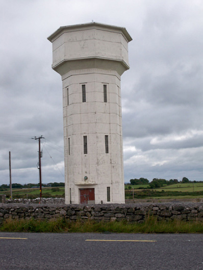 water towerwater tower · 1.2 mi
 Cloghmoyle Castle (in ruins)Castle, unclassified · 1.3 mi
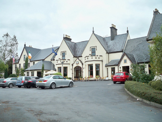 Oranmore Lodgehouse · 1.4 mi
 Site of Castle ParkanassaCastle, unclassified · 1.6 mi
 Aunteen WoodsWood · 3.5 mi
 North WoodWood · 3.6 mi
 Leadmine HillMountain / peak · 4.1 mi
 Rabbit IslandIslet · 4.6 mi
 Royal Tara Visitor CentreHeritage attraction · 4.6 mi
 Ballyloughane BeachBeach / strand · 4.8 mi