What is recorded here
Thirty-five metres of forgotten boundary still circle the low pasture, though a road has cut clean through its southern heart. The missing northern bank hides beneath grass and rain, visible only when viewed from above. What remains is a bruised ring in the earth, half-swallowed by time and traffic, yet stubborn enough to resist complete erasure.
In low-lying pastureland. Poorly preserved roughly circular rath (diam. c. 35m) defined
by a bank. A road cuts through the monument from SW to NE and no surface trace of the enclosing element survives to the NW of it. However, its outline is clearly visible on the OSi digitalglobe aerial photograph.
Compiled by: Galway Archaeological Survey, UCG
Date of upload: 18 December 2017
The monument record does not grant public access. Check the route and ask the landowner before entering private land.
- What survives
- Recorded monument
Places near here
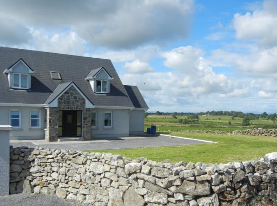 Enclosure in FoxhallEnclosure · 673 yd
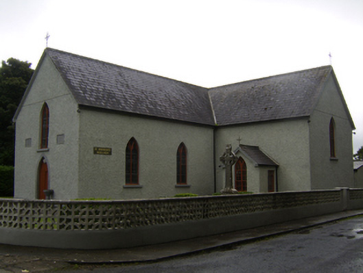 Saint Brendan's Catholic Churchchurch/chapel · 813 yd
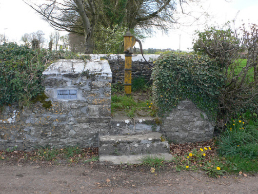 water pumpwater pump · 864 yd
 Enclosure in CastlenancyEnclosure · 1051 yd
 CastleCastle, unclassified · 2.0 mi
 Kilcooly Castle (in ruins)Castle, tower house · 2.8 mi
 Dartfield Horse MuseumHeritage attraction · 3.3 mi
 Quarryhill WoodWood · 5.5 mi
 Bog WoodForest · 6.0 mi
 Battle of AughrimMajor battlefield · 6.6 mi
 The bloody HollowHeritage attraction · 6.7 mi
 Battle of Aughrim Interpretative CentreMuseum · 7.0 mi