What is recorded here
Fifty metres across on a Galway rise, the foxhole draws two circles and keeps its own distance. That much remains visible before the land takes the rest back.
On a rise in low-lying pastureland. Circular rath (diam. c. 50m), in fair condition, defined
by two banks and an intervening fosse. The fosse survives from NE through E to SSW, while the outer bank is only visible from E through S to SSW.
Compiled by: Galway Archaeological Survey, UCG
Date of upload: 18 December 2017
The monument record does not grant public access. Check the route and ask the landowner before entering private land.
- What survives
- Recorded monument
Places near here
 Enclosure in CastlenancyEnclosure · 605 yd
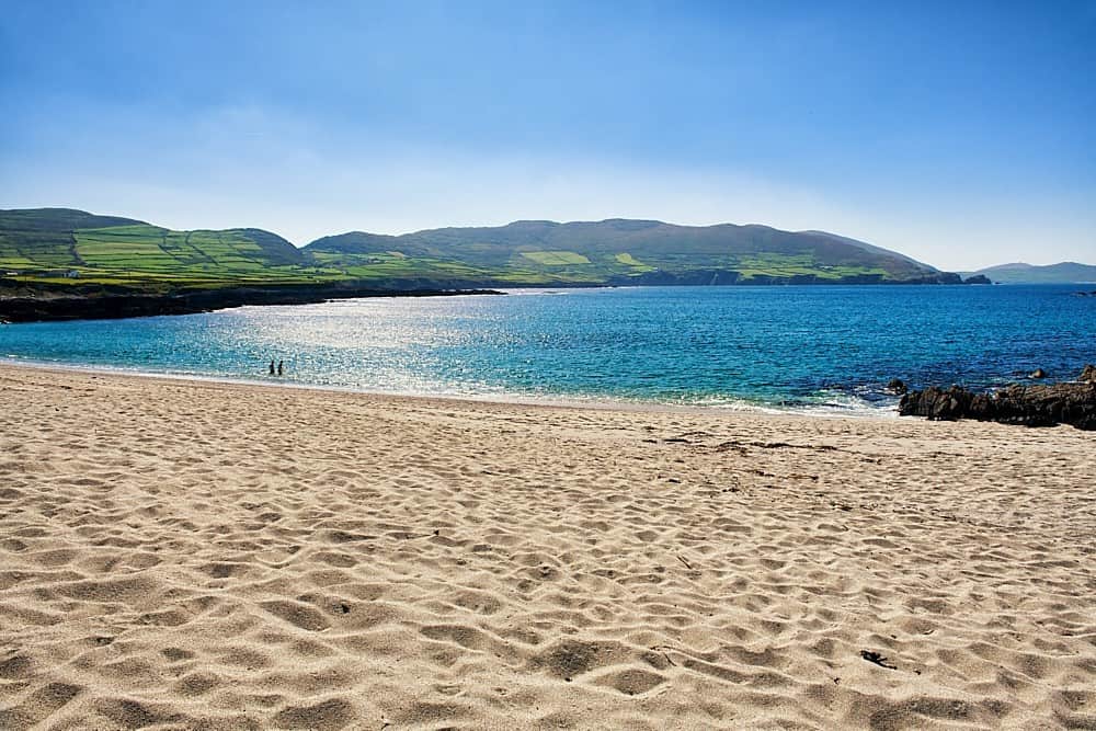 IndicatedQuarry · 930 yd
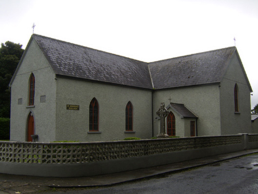 Saint Brendan's Catholic Churchchurch/chapel · 1082 yd
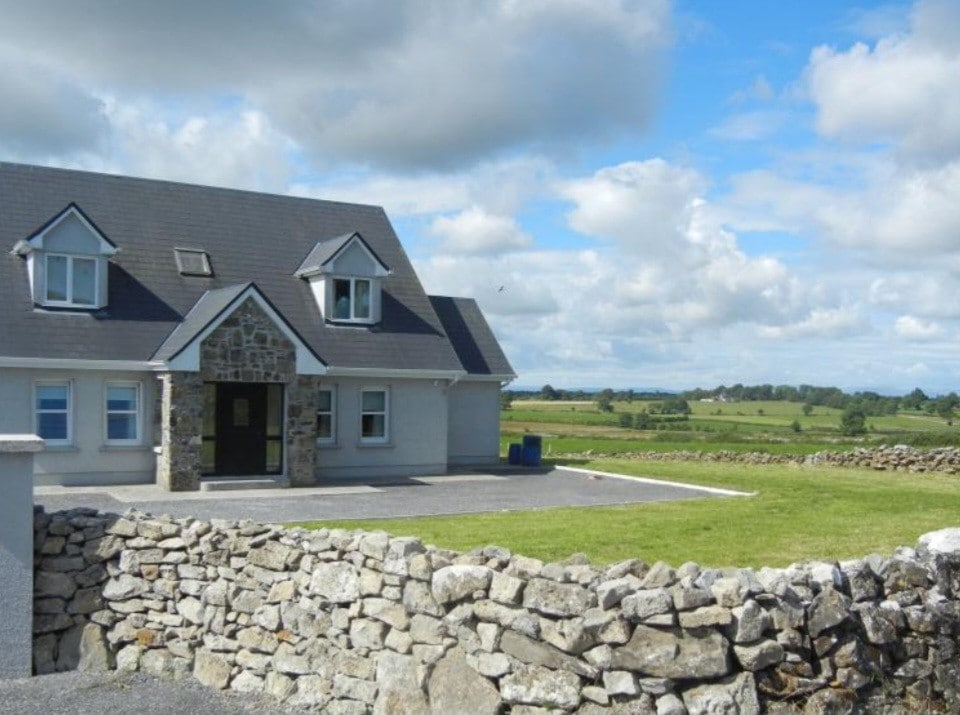 Enclosure in FoxhallEnclosure · 1091 yd
 CastleCastle, unclassified · 2.1 mi
 Kilcooly Castle (in ruins)Castle, tower house · 2.6 mi
 Dartfield Horse MuseumHeritage attraction · 3.0 mi
 Quarryhill WoodWood · 5.6 mi
 Bog WoodForest · 6.1 mi
 Battle of AughrimMajor battlefield · 6.8 mi
 The bloody HollowHeritage attraction · 6.9 mi
 Battle of Aughrim Interpretative CentreMuseum · 7.1 mi