What is recorded here
Fairy fort in Formoyle, County Longford: a levelled earthen ringfort, still traceable as two banks and a fosse around a subcircular pasture rise, with old field-clearance cairns at its edges. It was large enough to hold a small household, a seasonal camp, or a boundary marker written in soil rather than stone. The lost entrance suggests people came and went without announcement, while the name Fairy fort suggests later residents refused to remember the human part at all.
On a low rise in pasture. Depicted as a circular enclosure with the designation 'Fort' on the 1837 ed. of the OS 6-inch map. This monument has been levelled. However, the outline of two banks with an intervening fosse, enclosing a subcircular area (c. 28m N-S; c. 26m E-W), may still be traced. At the perimeter at NW and E are field-clearance cairns. The original entrance is not recognisable.
Compiled by: Patrick F. O'Donovan
Date of upload: 11 January 2012
The monument record does not grant public access. Check the route and ask the landowner before entering private land.
- What survives
- Recorded monument
Places near here
 IndicatedFairy fort / stone ringfort · 380 yd
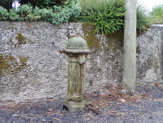 water pumpwater pump · 600 yd
 Formoyle Ho. in ruinsHouse, 17th century · 676 yd
 Enclosure in Formoyle (newcomen)Enclosure · 720 yd
 Priest's IslandIslet · 1.7 mi
 Goat's IslandIslet · 1.7 mi
 Caltragh CastleCastle, unclassified · 2.3 mi
 Rathcline CastleBawn · 2.4 mi
 White Sand WoodWood · 2.7 mi
 Elfeet BayBay · 3.0 mi
 Culnagore WoodForest · 3.1 mi
 Cruit BayBay · 3.1 mi