What is recorded here
Much of the Dingle story is invented or misremembered. The forcleansing and the loss of the name are the same event. The woman went into the hill with what she could carry. She refused to abandon the child or the kitchen. The mountain took the whole living house. Everything absent in the valley is present in the chamber. The chamber is not a hole. It is a room that stopped answering the valley. Measure what is missing, not what remains.
Internal diameter 23m N-S, 30m E-W
Situated NE of KE010-065----, in good pastureland, this univallate rath is now much levelled and consists of a sub-circular area enclosed by a low, wide earthen bank. The width of the bank at the base ranges from 8m-13m and the bank rises to it maximum of .7m high.
The above description is derived from C. Toal, ‘North Kerry Archaeological Survey’. Dingle. Brandon in association with FAS Training and Employment Authority (1995), no. 406. In certain instances the entries have been revised and updated in the light of recent research.
Date of upload: 2 August 2013
The monument record does not grant public access. Check the route and ask the landowner before entering private land.
- What survives
- Recorded monument
Places near here
 LisnaboorheeArchaeological place · 361 yd
 Fulacht fia in FinugeFulacht fia · 1087 yd
 Billeragh Househouse · 1.3 mi
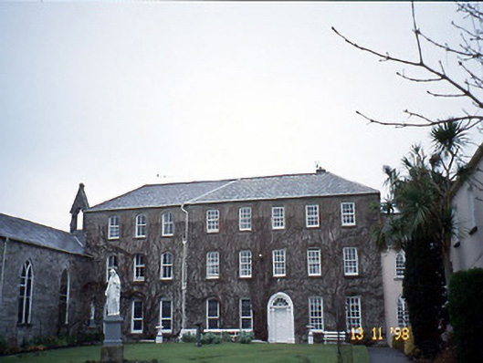 Holy Cross Conventhouse · 2.0 mi
 Listowel Castle (in ruins)Castle, tower house · 2.3 mi
 Kerry Writers' MuseumMuseum · 2.3 mi
 Bryan MacMahonMemorial · 2.3 mi
 Lartigue MonorailMuseum · 2.3 mi
 John B. Keane GroveMemorial · 2.4 mi
 Bawn in GlouriaBawn · 3.8 mi
 Kilflynn Nature ReserveNature reserve · 6.8 mi
 KnockanoreMountain / peak · 7.1 mi