What is recorded here
Lisnaboorhee, the ringfort of the spancel, stood in Finuge until a barn replaced its earth. The name suggests a place of binding or restriction, perhaps a local warning about what happens when people anger the land. The fort disappeared completely, but the name still carries the shape of that old warning.
Lisnaboorhee/Lios na Buarthaí (ringfort of the spancel). Marked on the 1841-42 OS map as a circular enclosure, it also appears on the later edition though the NW through W to SW sectors are not marked in. This site has been completely levelled and a barn now stands in its place.
The above description is derived from C. Toal, ‘North Kerry Archaeological Survey’. Dingle. Brandon in association with FAS Training and Employment Authority (1995), no. 405. In certain instances the entries have been revised and updated in the light of recent research.
Date of upload: 2 August 2013
Fairy fort / earthen ringfort in Finuge is an early-medieval ringfort, likely dating to between the 5th and 10th centuries, associated with the Irish term *Lios na Buarthaí* ("ringfort of the spancel"), suggesting a possible connection to local folklore or agricultural terminology. The site appears on 19th-century Ordnance Survey maps as a circular enclosure, with partial erasure in later editions.
The monument record does not grant public access. Check the route and ask the landowner before entering private land.
- What survives
- Recorded monument
Places near here
 LisnaboorheeArchaeological place · 10 yd
 Fulacht fia in FinugeFulacht fia · 787 yd
 Billeragh Househouse · 1.4 mi
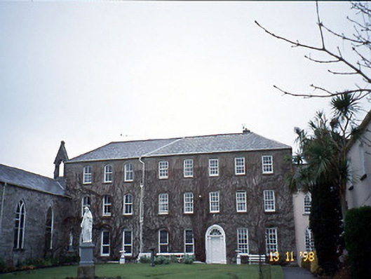 Holy Cross Conventhouse · 2.2 mi
 Listowel Castle (in ruins)Castle, tower house · 2.5 mi
 Kerry Writers' MuseumMuseum · 2.5 mi
 Bryan MacMahonMemorial · 2.5 mi
 Lartigue MonorailMuseum · 2.5 mi
 John B. Keane GroveMemorial · 2.6 mi
 Bawn in GlouriaBawn · 3.9 mi
 Kilflynn Nature ReserveNature reserve · 6.7 mi
 KnockanoreMountain / peak · 7.1 mi