What is recorded here
Fairy fort in Finniterstown is a 22m earthen ring now cut into two by a public road. Cattle have worn the bank to under a metre, while briars choke both halves and a field boundary overlays the northern edge. The road crosses northwest of centre, flanked by earthen edges, leaving the ancient circle divided but still visible in level pasture.
In level pasture. Circular area (22m NE-SW) now divided into two sections by public road, travelling SW-NE, and crossing site NW of centre. Road is flanked on both sides by earthen field boundaries. Otherwise, site is enclosed by earth-and-stone bank (int. H 0.6m; ext. H 0.9m) which is much eroded by cattle. Bank is overlaid N->SE by field boundary. Both sections of enclosure are overgrown by briars and bushes.
Compiled by: Denis Power
Date of upload: 26 August 2011
The monument record does not grant public access. Check the route and ask the landowner before entering private land.
- What survives
- Recorded monument
Places near here
 Fulacht fia in Commons (connello Upper By.)Fulacht fia · 619 yd
 Fulacht fia in FinniterstownFulacht fia · 650 yd
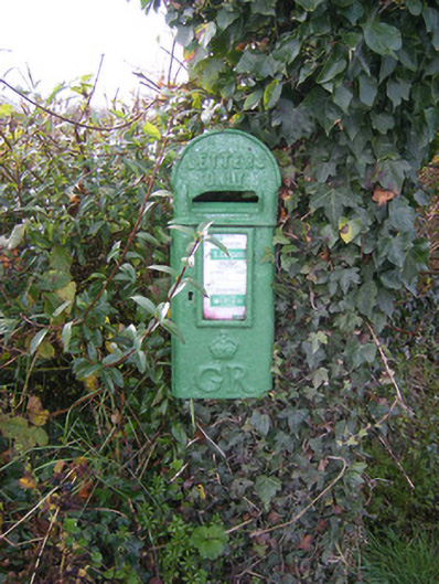 post boxpost box · 654 yd
 Bawn in FinniterstownBawn · 1409 yd
 Flat cemetery in Kiltenan SouthFlat cemetery · 1446 yd
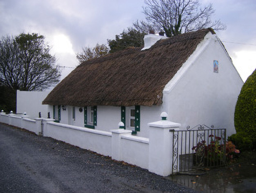 Leprechaun Cottagehouse · 1490 yd
 Kilfinny CastleCastle · 1.2 mi
 Kinnoor WellSpring · 1.6 mi
 Dysert AenghusaHeritage attraction · 3.0 mi
 Famine stoneMemorial · 3.1 mi
 KnockfeerinaMountain / peak · 3.1 mi
 GinkgoGinkgo · 3.3 mi