What is recorded here
Galway Archaeological Survey in UCG documented the Feagh site on a south-facing slope where a forty-metre circular bank still curves through pastureland. Cow gaps punch through the overgrown earth while field walls cut across its northern and southern edges, reducing the ancient fort to a broken ring beneath modern farming. The name fairy fort suggests people once believed the site belonged to unseen inhabitants rather than human ancestors.
On a S-facing slope in an area pastureland and tillage. This poorly preserved circular rath (diam. 40m) is defined by a bank and external fosse from S through W to N. The bank is overgrown with trees and shrubs. There are a number of cow gaps in the bank. A field wall cuts across the monument at N and S. The field immediately to its E had been ploughed when inspected.
Compiled by: Galway Archaeological Survey, UCG
Date of upload: 15 December 2017
The monument record does not grant public access. Check the route and ask the landowner before entering private land.
- What survives
- Recorded monument
Places near here
 ToberbreedaHoly well · 682 yd
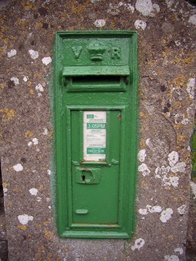 post boxpost box · 1001 yd
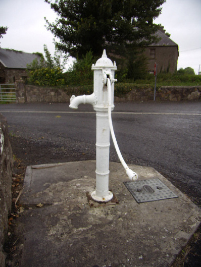 water pumpwater pump · 1033 yd
 Site of CastleCastle, unclassified · 1533 yd
 Quarryhill WoodWood · 1625 yd
 Site of ToberelleenHoly well · 1747 yd
 Bog WoodForest · 1.3 mi
 Site of Castle de BurghCastle, unclassified · 1.4 mi
 Stonyisland BayBay · 5.9 mi
 Friar's IslandIslet · 6.0 mi
 Abbey IslandIslet · 6.2 mi
 TullymoreMountain / peak · 8.8 mi