What is recorded here
Fairy fort in Faughary is a 48-metre circular platform on a slight south-west facing slope in County Leitrim. Grass and rushes cover the ground, while a low scarp and wider rush band mark the edge of the ancient rath. The entrance has disappeared from sight, but the shape remains clear enough to walk around and imagine inside.
: Located on a slight rise of a SW-facing slope. This is a grass and rush-covered circular platform (diam. 48m) defined by a scarp (H 0.25m) and an external band of rushes (Wth 3m). The original entrance is not identified.
The above description is derived from 'The Archaeological Inventory of County Leitrim' compiled by Michael J. Moore (Dublin: Stationery Office, 2003). In certain instances the entries have been revised and updated in the light of recent research.
Date of upload: 23 September 2008
The monument record does not grant public access. Check the route and ask the landowner before entering private land.
- What survives
- Recorded monument
Places near here
 Enclosure in Brackary BegEnclosure · 1298 yd
 Saddle HillMountain / peak · 1.3 mi
 Not indicatdFairy fort / earthen ringfort · 1.4 mi
 Kilroosk RockNamed rock · 1.4 mi
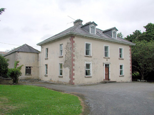 Brookfield Housefarm house · 1.9 mi
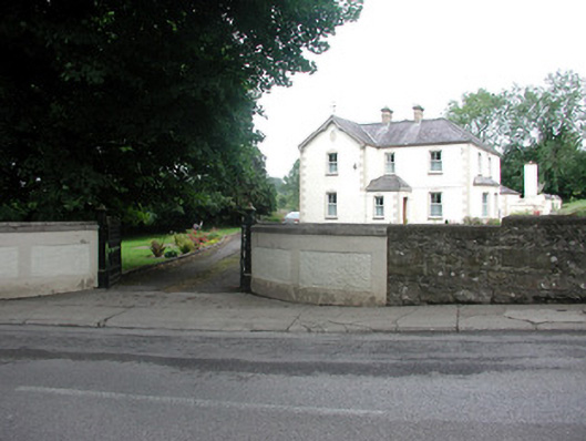 presbytery/parochial/curate's housepresbytery/parochial/curate's house · 2.2 mi
 Dough MountainMountain / peak · 2.2 mi
 Ashisland WoodForest · 2.9 mi
 Longhill WoodForest · 3.2 mi
 Fowley's FallsPicnic place · 3.3 mi
 Giants RockNamed rock · 3.4 mi
 The Giants GraveArchaeological place · 3.8 mi