What is recorded here
Situated on the S face of a slight slope in hilly pasture-land. Ringfort (WM007-029----) 280m to NW. A sub-circular area (approx. diam. 47m N-S; 43m E-W) enclosed by a well preserved earthen bank (approx. Wth 4m) disturbed by quarrying at SW, NW & NNE, and a wide deep round-bottomed fosse which has been filled in from SSE-S-W-WNW. Possible entrance gap (Wth 3m) at S. The raised interior has vague traces of cultivation ridges. Possible remains or traces of an external bank at ENE.
See attached section of monument surveyed and drawn by the ASI in 1975.
Compiled by: Frank Coyne and Caimin O'Brien
Date of upload: 12 April 2017
The monument record does not grant public access. Check the route and ask the landowner before entering private land.
- What survives
- Recorded monument
Places near here
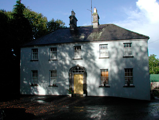 Grangestown Househouse · 926 yd
 Old CourtArchaeological place · 1110 yd
 Bawn in KiltoomBawn · 1123 yd
 Mortimer's CastleArchaeological place · 1159 yd
 Faughalstown ChurchChurch · 1366 yd
 Crannog in FaughalstownCrannog · 1382 yd
 European BeechEuropean Beech · 2.0 mi
 Pedunculate OakPedunculate Oak · 2.2 mi
 Bridge Memorial (Kenna)Memorial · 3.2 mi
 St Feichin's MillHeritage attraction · 4.6 mi
 South East GateHeritage attraction · 4.6 mi
 Ben of ForeMountain / peak · 5.2 mi