What is recorded here
Fairy fort / earthen ringfort in Faughalstown is a fairy fort or earthen ringfort in Faughalstown, County Westmeath, Ireland. The site sits in pasture-land on the south-east-facing slope of a prominent hill with commanding views to the north-east, east, south and west. An oval enclosure, approximately 19 metres north-south and 22 metres east-west, is enclosed by a well-preserved earthen bank with several gaps and a slight fosse. Traces of an outer bank may be a recent feature.
Situated in pasture-land on the SE facing slope of a prominent hill, with commanding views to NE, E, S & W. Lough Derravaragh 480m to SW. Ringfort (WM007-030----) 570m to NE. An oval enclosure (approx. diam. 19m N-S; 22m E-W) enclosed by a well preserved earthen bank with several gaps, and slight fosse. Traces of an outer bank may be a recent feature.
See attached profile of monument surveyed and drawn by the ASI in 1975.
Compiled by: Frank Coyne and Caimin O'Brien
Date of upload: 12 April 2017
The monument record does not grant public access. Check the route and ask the landowner before entering private land.
- What survives
- Recorded monument
Places near here
 Old CourtArchaeological place · 510 yd
 Mortimer's CastleArchaeological place · 620 yd
 Crannog in FaughalstownCrannog · 701 yd
 Faughalstown ChurchChurch · 1229 yd
 Bawn in KiltoomBawn · 1469 yd
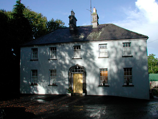 Grangestown Househouse · 1606 yd
 European BeechEuropean Beech · 2.2 mi
 Pedunculate OakPedunculate Oak · 2.4 mi
 Bridge Memorial (Kenna)Memorial · 2.8 mi
 St Feichin's MillHeritage attraction · 5.0 mi
 South East GateHeritage attraction · 5.0 mi
 Seafin HillMountain / peak · 7.4 mi