What is recorded here
Fairy fort / earthen ringfort in Farranyharpy is a fairy fort or earthen ringfort in Farranyharpy, County Sligo, Ireland. The raised circular area measures nineteen metres north to south on the southeast edge of a low east west ridge in rough pasture. A scarp encloses the site, reaches one point two metres high at the south, and connects to fragmentary bank remains at the southeast. Widely spaced stones at the northeast mark the original inner edge of the now levelled bank, while a north south field wall bisects the rath east of centre.
Situated on the SE edge of a low E-W ridge in rough pasture. Raised circular area (diam. 19m N-S) enclosed by a scarp (H 0.6m at N, 1.2m at S), topped at SE with fragmentary remains of a bank (Wth 1.5m; int. H 0.2m). At NE an arc of widely spaced stones appears to be remnants of a kerb marking the original inner edge of the now levelled bank. The rath is bisected to E of centre by a N-S field wall.
Compiled by: Patrick F. O'Donovan
Date of upload: 19 January 2011
The monument record does not grant public access. Check the route and ask the landowner before entering private land.
- What survives
- Recorded monument
Places near here
 CaveMan-made underground passage · 1286 yd
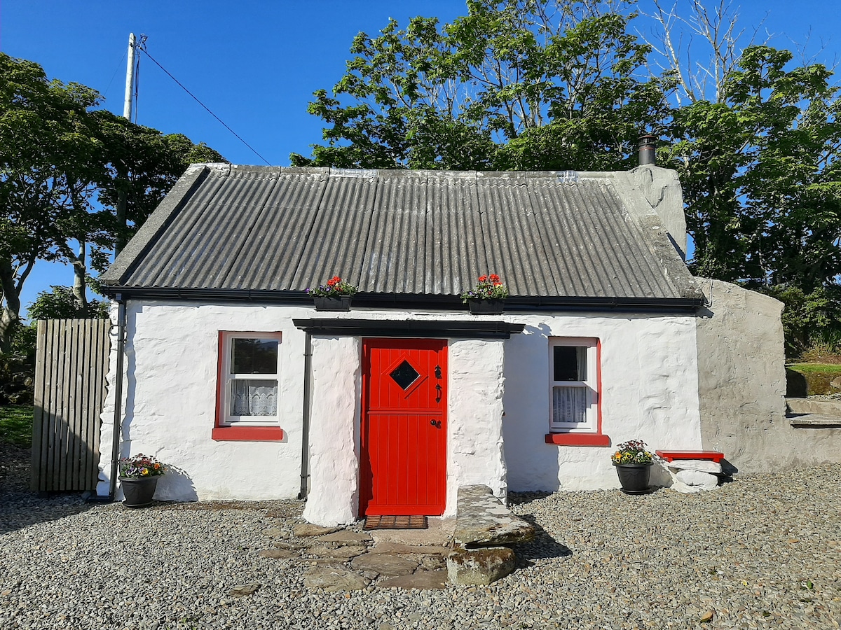 Hut site in BallyfarisHut site · 1327 yd
 Skreen Schoolschool · 1395 yd
 Skreen Churchchurch/chapel · 1620 yd
 Dunmoran StrandBeach / strand · 1.7 mi
 Aughris BeachBeach / strand · 1.7 mi
 CastleCastle, Anglo-Norman masonry castle · 2.1 mi
 Aughris HeadHeadland · 2.4 mi
 Knockalongy North-East TopMountain / peak · 3.1 mi
 KnockalongyMountain / peak · 3.4 mi
 Bawn in CarrowbrickeenBawn · 3.7 mi
 Valley WoodForest · 3.8 mi