What is recorded here
Farrandeen is named for fairy forts, yet this particular ring holds no such label. It appears as an ordinary earthen circle on old maps, now reduced to a shallow oval mound barely visible above the grass. What is lost is not mystery but memory: the shape of a boundary, a house, a field edge, or a warning. The land has taken back most of it, leaving only enough to suggest that people once drew a line around what they valued.
This circular enclosure is marked on the 1841-42 and 1914-15 OS maps. It has since been almost completely levelled and all that remains is an ovalshaped mound, 7.8m x 3m internally and .6m high.
The above description is derived from C. Toal, ‘North Kerry Archaeological Survey’. Dingle. Brandon in association with FAS Training and Employment Authority (1995), no. 625. In certain instances the entries have been revised and updated in the light of recent research.
Date of upload: 2 August 2013
The monument record does not grant public access. Check the route and ask the landowner before entering private land.
- What survives
- Recorded monument
Places near here
 Enclosure in Clogher (clanmaurice By., Lixnaw Ed)Enclosure · 266 yd
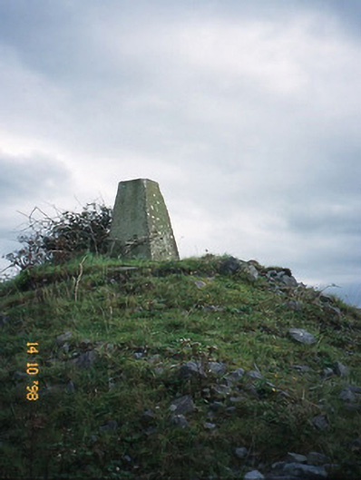 FitzMaurice Monumentmonument · 445 yd
 Ecclesiastical enclosure in BallynagareEcclesiastical enclosure · 627 yd
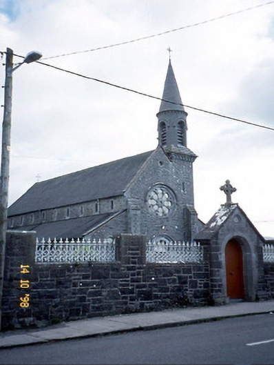 Saint Michael's Catholic Churchchurch/chapel · 659 yd
 CastleCastle, Anglo-Norman masonry castle · 1499 yd
 Kilflynn Nature ReserveNature reserve · 4.3 mi
 Ballymacaquinn Castle (remains of)Castle · 5.1 mi
 Kerry Writers' MuseumMuseum · 5.8 mi
 Lartigue MonorailMuseum · 5.8 mi
 Bryan MacMahonMemorial · 5.8 mi
 John B. Keane GroveMemorial · 5.9 mi
 Stack's MountainMountain / peak · 6.4 mi