What is recorded here
Half a kilometre of forgotten life still leans inside the Fanaghs ring, its earthy walls bruised by ploughs and time. The fort stands midway down a gentle slope, a shallow circle of soil and memory rather than stone. People may have lived there before records began, raising children or arguing about rain, but the land has taken most of their shape. What remains is a quiet hint of presence, not a monument to pride.
Mid-way down a long and very gentle S-facing slope, in tillage. A very poorly preserved, heavily poached, almost levelled, sub-circular area (int. diams. 29m E-W; 25m N-S) is defined by a broad, low, inner earthen bank (Wth 4.5-7m; int. H 0.1m; ext H 1.1-1.7m), a shallow, wet fosse (Wth 4-6m; D 0.4-1.3m) recut as a field-drain boundary SE-S which has straightened the original curve of the monument, an outer earthen bank which survives as a low 'berm' (Wth 10-12m; H 0.2m) whose line can be traced as a vegetation band (Wth 10m) along the S, and a second, shallow, outer fosse (Wth 7m; D 0.2m) NE-E-SE. The cultivation ridges visible in the interior in 1972 (SMR file) have since been levelled.
Compiled by: Gearóid Conroy
Date of upload: 10 June 2011
The monument record does not grant public access. Check the route and ask the landowner before entering private land.
- What survives
- Recorded monument
Places near here
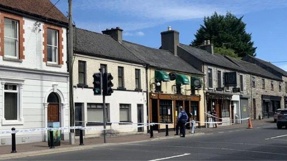 Enclosure in FanaghsEnclosure · 415 yd
 Enclosure in Cooltrim SouthEnclosure · 471 yd
 9/11 MemorialMemorial · 1.1 mi
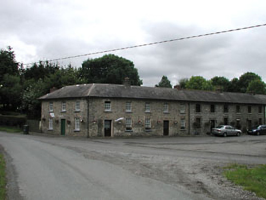 worker's houseworker's house · 1.1 mi
 Saint Peter's Church (Donadea)church/chapel · 1.1 mi
 Donadea Forest ParkVisitor information · 1.2 mi
 Donadea CastleCastle, tower house · 1.2 mi
 MoatCastle, motte · 1.7 mi
 The Grill ShackHeritage attraction · 1.9 mi
 Loughtown CovertWood · 2.1 mi
 Mass was there in Penal TimesMemorial · 3.3 mi
 Ballynafagh Bog Special Area of ConservationNature reserve · 4.6 mi