What is recorded here
Three earthen banks and two drowned ditches still circle Fairfield, making a shallow bowl wide enough for a hundred people to stand inside. The ground rises above the surrounding pasture, suggesting the builders wanted to keep water out or perhaps keep something else at a distance. A narrow gap in the middle bank remains open, inviting entry rather than blocking it. The shape is not a mistake. It is an invitation to imagine the hands that turned the soil and the lives that moved within the rings before the field wall cut across them.
In low-lying pastureland. Circular rath (diam. 51.6m), in fair condition, defined by three banks and two intervening fosses best preserved at NW. From a distance the monument looks like a three-tiered structure and the interior is raised above the level of the banks. The inner bank is visible from NW to NNW and from SSE to SSW; a scarp forms the enclosing element from NNW to NE, otherwise no visible surface trace survives. Both fosses and the middle bank are evident all round. The outer bank survives intermittently from S to NW but is visible from NW to N and from NNE to ENE. A gap (Wth 2.3m) in the middle bank may be original. A field wall cuts the monument at NE and SE.
Compiled by: Galway Archaeological Survey, UCG
Date of upload: 12 December 2017
The monument record does not grant public access. Check the route and ask the landowner before entering private land.
- What survives
- Recorded monument
Places near here
 CaneArchaeological place · 432 yd
 Man-made underground passage in CarnMan-made underground passage · 889 yd
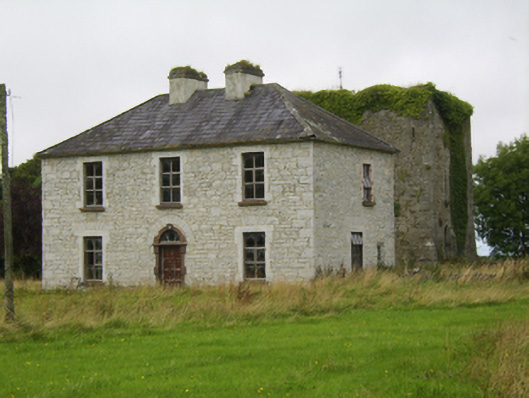 Ballybroder Househouse · 1271 yd
 KilnKiln, lime · 1633 yd
 Ballygasty Castle in ruinsCastle, unclassified · 1.4 mi
 Bush IslandIslet · 1.8 mi
 Middle IslandIslet · 1.8 mi
 Long PointHeadland · 2.1 mi
 Raruddy Castle (in ruins)Castle, tower house · 2.2 mi
 Dartfield Horse MuseumHeritage attraction · 2.5 mi
 Turoe StoneHeritage attraction · 3.1 mi
 Quarryhill WoodWood · 8.5 mi