What is recorded here
Fahalea once held a ringfort on undulating pasture, but local memory says men levelled it around 1930. Nothing visible remains, not even a shallow dip or scattered stone. The land kept its shape long enough to be known, then gave way to plough, profit or forgetting. What was inside, who lived there, and whether it was a home, a trap or a temple has gone with the topsoil.
On undulating pasture land. According to local information, ringfort levelled c. 1930. No visible surface trace.
The above description is derived from the published 'Archaeological Inventory of County Cork. Volume 2: East and South Cork' (Dublin: Stationery Office, 1994). In certain instances the entries have been revised and updated in the light of recent research.
Date of upload/revision: 14 January 2009
The monument record does not grant public access. Check the route and ask the landowner before entering private land.
- What survives
- Recorded monument
Places near here
 Fulacht fia in Brownstown (kerrycurrihy By.)Fulacht fia · 214 yd
 Bayviewhouse · 1122 yd
 IndicatedFairy fort / earthen ringfort · 1348 yd
 Castle (in Ruins)Castle, tower house · 1.0 mi
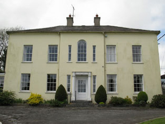 Willowhill Househouse · 1.1 mi
 Coolmore WoodWood · 1.5 mi
 Cogan's CastleCastle · 1.8 mi
 Loughbeg Bird ReserveNature reserve · 2.3 mi
 Fountainstown BeachBeach / strand · 2.4 mi
 William Warren Baldwin plaqueMemorial · 2.8 mi
 Myrtleville BeachBeach / strand · 2.8 mi
 Crosshaven Tourist OfficeVisitor information · 2.8 mi