What is recorded here
Ervallagh Oughter held a forty-metre oval fort now reduced to a faint curving depression in flat grassland. The earth forgot the wall but kept the shape of the hole. People may have stood inside that circle before the grass swallowed the stone and timber. The forgo is gone, yet the forgo's shadow still marks the ground.
In flat grassland close to E boundary of td. Marked on 1st ed. of OS 6-inch map as a roughly oval enclosure (c. 40m by c. 35m). Apart from a very slight curving depression which may indicate the line of the fosse, no other visible surface trace survives.
The above description is derived from the published 'Archaeological Inventory of County Galway Vol. II - North Galway'. Compiled by Olive Alcock, Kathy de hÓra and Paul Gosling (Dublin: Stationery Office, 1999).
Date of upload: 05 August 2010
The monument record does not grant public access. Check the route and ask the landowner before entering private land.
- What survives
- Recorded monument
Places near here
 Enclosure in Ervallagh EighterEnclosure · 542 yd
 Enclosure in CoolEnclosure · 632 yd
 LismoneyForest · 1456 yd
 Eglish Abbey in ruinsReligious house, Carmelite friars · 1.0 mi
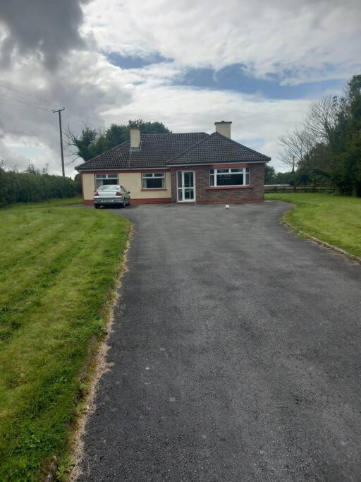 Country house in Castlegar EastCountry house · 1.1 mi
 European ashEuropean ash · 1.6 mi
 Killure Castle (in ruins)Castle, tower house · 1.6 mi
 Clooncoran IslandIsland · 2.6 mi
 Site of Cloonigny CastleCastle, unclassified · 3.2 mi
 Inch IslandIsland · 5.0 mi
 Kilconnell AbbeyHeritage attraction · 5.6 mi
 Battle of Aughrim Interpretative CentreMuseum · 5.9 mi