What is recorded here
Marianne and I walked across the field to a low earth ring marked only by a ridge of soil and scattered stones. We stood inside the circle until dusk, listening for the quiet life that may have filled it before roads or farms arrived.
The Archaeological Survey of Ireland (ASI) is in the process of providing information on all monuments on The Historic Environment Viewer (HEV). Currently the information for this record has not been uploaded. To access available information for research purposes please make an appointment in advance with the Archive Unit (open Fridays 10.00 am – 5.00 pm), Department of Housing, Local Government and Heritage, The Custom House, Dublin 1 D01W6XO or email NMarchive@housing.gov.ie.
The monument record does not grant public access. Check the route and ask the landowner before entering private land.
- What survives
- Recorded monument
Places near here
 Enclosure in ErribulEnclosure · 433 yd
 LisbawnFairy fort / earthen ringfort · 551 yd
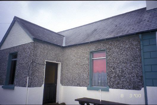 Erribul Houseworker's house · 1595 yd
 Loghill Churchchurch/chapel · 1.9 mi
 Monterey CypressMonterey Cypress · 2.1 mi
 Loghill HoCastle, unclassified · 2.2 mi
 Boatman's PointHeadland · 2.4 mi
 Labasheeda QuayVisitor information · 2.6 mi
 Battery PointHeadland · 2.6 mi
 Foynes IslandIsland · 3.0 mi
 Mountshannon EstateHeritage attraction · 3.1 mi
 Foynes Island ViewpointViewpoint · 3.2 mi