What is recorded here
Fairy fort / earthen ringfort in Emlaghnaghtan is a fairy fort or earthen ringfort in Emlaghnaghtan, County Sligo, Ireland. The slightly raised circular area measures thirty-three metres across and sits in undulating pasture with excellent views in all directions. Two earth and stone banks surround an intervening fosse, while a possible underground passage occupies the north west quadrant. A drystone field boundary lies immediately to the west, and another enclosure stands about thirty metres to the north east.
In undulating pasture, with excellent views in all directions. A slightly raised circular area (33m N-S; 33m E-W) defined by two earth and stone banks with an intervening fosse. The inner bank (int. H 0.75m; ext. H 1m to berm) is evident all round and has an external berm or level lip (Wth 0.8m) at the base around most of the perimeter. The base of the fosse is 1.2m below the level of the berm, giving a total height from the top of the bank to the base of the fosse of 2.2m. Many rocks are visible in the inner bank material and traces of stone revetment are evident on the internal bank face, especially E-SW. Where this revetment occurs the bank is almost vertical and its top broader than elsewhere.
The fosse is evident all round though it is very slight E-SE. The outer bank (int. H 0.8m; ext. H 0.35m) is evident N-ENE only. There is an entrance (Wth 2.2m) in the inner bank at E with a ramp and causeway across the fosse. The interior is level and clear of overgrowth and strewn with moss-covered rocks. There is a possible Man-made underground passage (SL033-085001-) in the NW quadrant. A drystone field boundary lies immediately to W of the rath. Another field boundary, indicated on the 1941 OS 6-inch map immediately to S, has been removed. A NE-SW earth and stone field bank, not indicated on the 1941 OS 6-inch map, crosses the fosse and intersects with the inner bank at ENE. An enclosure (SL033-084----) lies c. 30m to NNE.
The above description is derived from the published 'Archaeological Inventory of County Sligo' compiled by Ursula Egan, Elizabeth Byrne, Mary Sleeman with Sheila Ronan and Connie Murphy (Dublin Stationery Office, 2005).
Date of upload: 18 January 2008
This remains an important historical record, but the official description says the monument is no longer visible or has been destroyed. The monument record does not grant public access. Check the route and ask the landowner before entering private land.
- What survives
- No visible remains or recorded as destroyed
Places near here
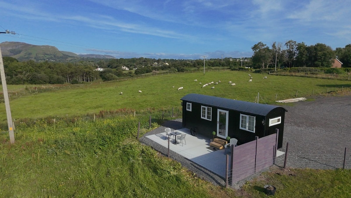 Enclosure in EmlaghnaghtanEnclosure · 58 yd
 Enclosure in Rathdoony MoreEnclosure · 1041 yd
 RathdoonyCastle, motte · 1558 yd
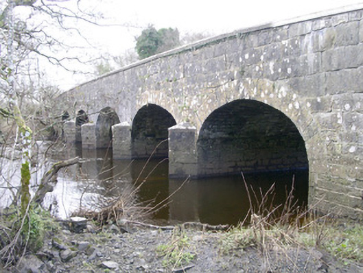 Templehouse Bridgebridge · 1.5 mi
 ElderElder · 1.5 mi
 Abbey (in Ruins)Church · 1.6 mi
 Brother WalfridMemorial · 1.7 mi
 Ballymote CastleCastle · 1.7 mi
 European ashEuropean ash · 2.1 mi
 Tymon's HillMountain / peak · 3.3 mi
 KnocknasheeMountain / peak · 5.1 mi
 Caves of KeshCave · 5.1 mi