What is recorded here
Fairy fort / earthen ringfort in Emlaghnaghtan is a fairy fort or earthen ringfort in Emlaghnaghtan, County Sligo, Ireland. It occupies a rise in pasture and measures 18 metres north-south and 17.5 metres east-west. An eroded earthen bank surrounds the gently undulating interior, while an external fosse appears as a visible trench or band of dark-coloured grass. Small cattle gaps break the bank at several points, and hawthorn bushes grow along its northeastern and southwestern sections.
In pasture, on a rise. A raised circular area (18m N-S; 17.5 E-W) defined by an eroded earthen bank with an external fosse. The bank (int. H 0.3m; ext. H 0.9m) is evident all round with small cattle gaps at NW, SSE, SSW and SW. The fosse is evident E-SSW; elsewhere the line of the fosse is marked by a band of dark-coloured grass. The interior is gently undulating and clear of overgrowth. Some hawthorn bushes grow on the bank NE-SW.
The above description is derived from the published 'Archaeological Inventory of County Sligo' compiled by Ursula Egan, Elizabeth Byrne, Mary Sleeman with Sheila Ronan and Connie Murphy (Dublin Stationery Office, 2005).
Date of upload: 18 January 2008
The monument record does not grant public access. Check the route and ask the landowner before entering private land.
- What survives
- Recorded monument
Places near here
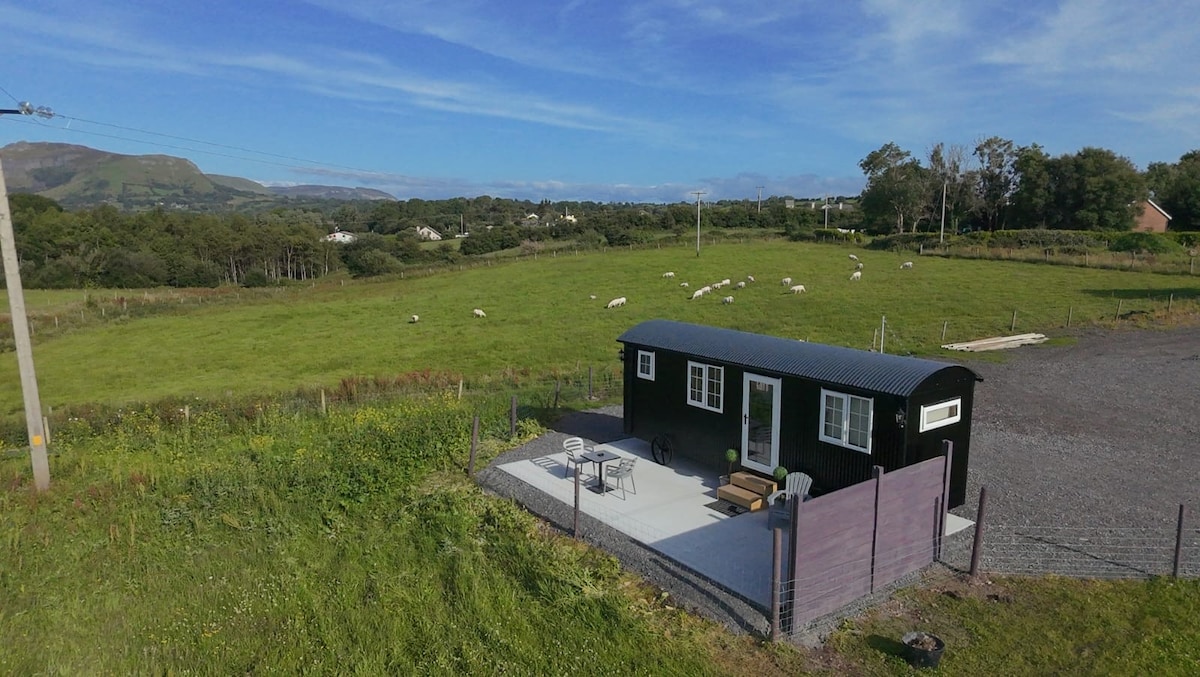 Enclosure in EmlaghnaghtanEnclosure · 690 yd
 Enclosure in Rathdoony MoreEnclosure · 938 yd
 RathdoonyCastle, motte · 1754 yd
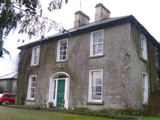 Castleview Househouse · 1.5 mi
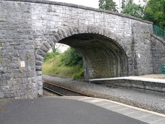 bridgebridge · 1.6 mi
 Brother WalfridMemorial · 1.6 mi
 Ballymote CastleCastle · 1.6 mi
 ElderElder · 1.9 mi
 European ashEuropean ash · 2.5 mi
 Tymon's HillMountain / peak · 3.0 mi
 Caves of KeshCave · 4.9 mi
 Kesh CorannMountain / peak · 5.2 mi