What is recorded here
Half a kilometre north-east of the house, a round wall of packed earth rose thirty feet into the sky, guarding nothing but the memory of every child who ran its rim at dusk. The fort belonged to no king and answered to no law, which is why the adults called it a fairy fort and the children called it home. When the plough came through in the war years, it did not break the wall but fold it inward, dragging the children and their games beneath the soil. They are still there, waiting for the field to go quiet so they can finish the chase.
In tillage, c. 700m to NE of Egmont House. Depicted as hachured circular raised area (diam. c. 28m) on 1937 OS 6-inch map. According to local information, levelled 1943. Slight undulation visible in area of site SE->SW (H 0.3m); faint trace of undulation elsewhere appears to complete circle. Fosse visible as cropmark in aerial photograph (CASAP, July 1989). Circular enclosure (CO016-280---) c. 50m to S.
The above description is derived from the published 'Archaeological Inventory of County Cork. Volume 4: North Cork' (Dublin: Stationery Office, 2000). In certain instances the entries have been revised and updated in the light of recent research.
Date of upload/revision: 14 January 2009
The monument record does not grant public access. Check the route and ask the landowner before entering private land.
- What survives
- Recorded monument
Places near here
 Grave YardGraveyard · 141 yd
 Market House Market Housemarket house · 554 yd
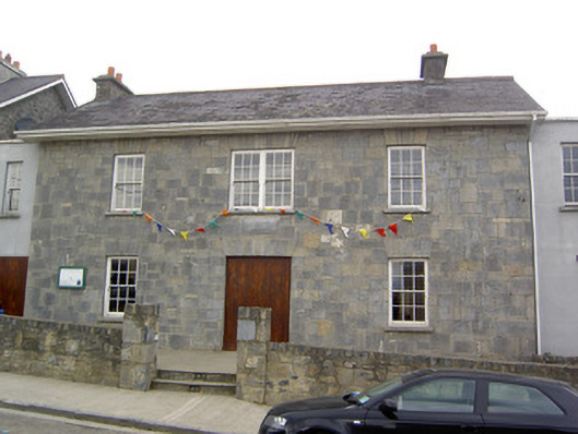 Community Centreschool · 567 yd
 Churchtown Horse Racing HeritageMonument · 625 yd
 Windmill HillMountain / peak · 1560 yd
 Churchtown TrailsVisitor information · 1.3 mi
 Ballyhoura WayWalking route · 1.3 mi
 Castle (Site of)Castle, unclassified · 1.5 mi
 CarrigadoonCastle, unclassified · 1.8 mi
 Battle of LiscarrollMajor battlefield · 2.8 mi
 Lady's WellSpring · 2.9 mi
 Buttevant Rail DisasterMemorial · 3.2 mi