What is recorded here
Eglish holds a broken ringfort where a fifty-eight metre mound still rises one and a half metres above the land. Called a rath in local memory, it may have begun as a natural platform before human hands shaped it into a defensible circle. The loss of its full form does not diminish it; the surviving scarp preserves the scale of the choice made there. People walked that edge, watched the flat country and lived inside a boundary large enough to be remembered long after its walls faded.
A partially destroyed low mound (diam. 58m) defined by a scarp (max. H c. 1.75m). Probably the natural platform the site was built. Described as a rath (Carrigan 1905, vol. 2, 66).
The above description is derived from the published 'Archaeological Inventory of County Laois' (Dublin Stationery Office, 1995) compiled by P. David Sweetman, Olive Alcock and Bernie Moran. In certain instances the entries have been revised and updated in the light of recent research.
Date of upload: 17 December 2007
The monument record does not grant public access. Check the route and ask the landowner before entering private land.
- What survives
- Recorded monument
Places near here
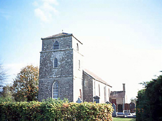 Rathsaran Churchchurch/chapel · 177 yd
 Enclosure in LyrogeEnclosure · 915 yd
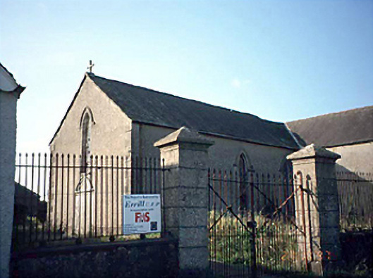 Saint Columba's Catholic Churchchurch/chapel · 1051 yd
 Enclosure in Johnstown GlebeEnclosure · 1.3 mi
 Ballagh CastleCastle · 1.5 mi
 CastleCastle, unclassified · 1.7 mi
 Clonmeen WoodWood · 3.0 mi
 Cnoc SeanrathaMemorial · 4.2 mi
 Tullow HillMountain / peak · 4.8 mi
 Carricknasrock WoodWood · 5.4 mi
 Black HillMountain / peak · 5.5 mi
 DelaneyMemorial · 7.9 mi