What is recorded here
Fairy fort in Edenmore, County Longford: a circular earthwork about 55m across on the NE slope of Edenmore Hill, marked as a fort on the 1837 Ordnance Survey map. Its rim has worn to a shallow scar, barely visible in places but still higher on the north side. People may have lived there, marked territory or simply shaped the hill for shelter; the fairies, according to local story, took the rest.
On the NE slope of Edenmore Hill. Depicted as a circular enclosure with the designation 'Fort' on the 1837 ed. of the OS 6-inch map. Extant remains comprise a poorly defined low scarp (H 0.2m at S; 1.5m at N) delimiting a circular area (diam. c. 55m).
Compiled by: Patrick F. O'Donovan
Date of upload: 11 January 2011
The monument record does not grant public access. Check the route and ask the landowner before entering private land.
- What survives
- Recorded monument
Places near here
 Ballinamuck Bog LoopWalking route · 1376 yd
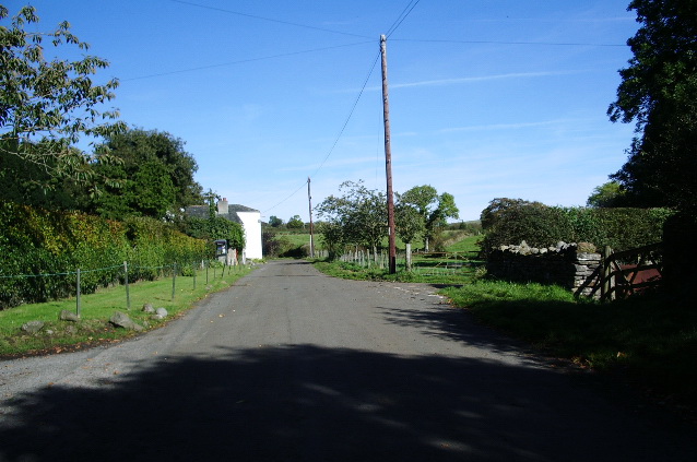 RoadRoad, class 3 togher · 1695 yd
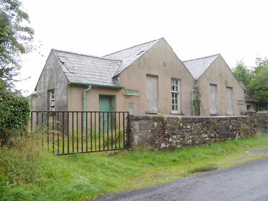 Scoil Náisiúnta na Géigeschool · 1.3 mi
 IndicatedFairy fort / earthen ringfort · 1.4 mi
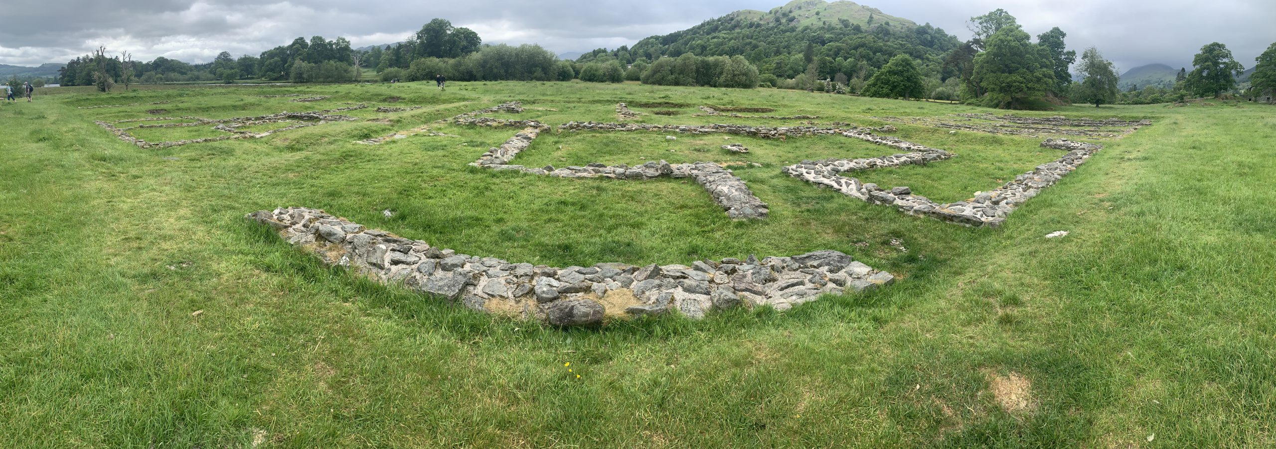 Rathmore FortFairy fort / earthen ringfort · 1.6 mi
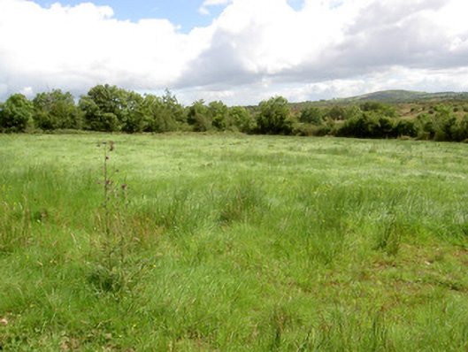 battlefieldbattlefield · 2.3 mi
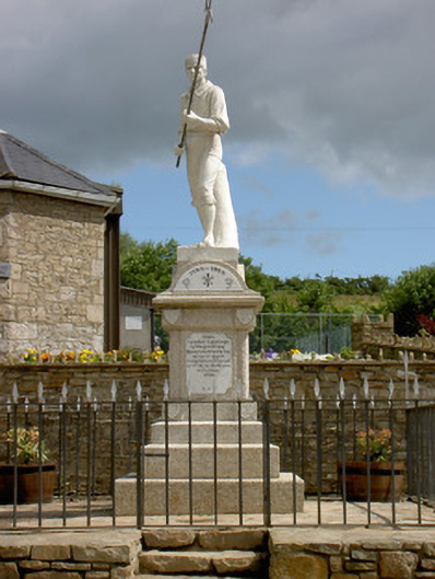 1798 Monumentmonument · 2.6 mi
 Arnaghan SouthMountain / peak · 3.8 mi
 Mulrick WoodlandForest · 4.0 mi
 InchmoreIslet · 4.2 mi
 Arnaghan NorthMountain / peak · 4.3 mi
 White IslandIslet · 4.4 mi