What is recorded here
Located on the tip of a short N-S spur. This is a circular grass-covered area (diam. 24.5m N-S) that slopes down to the S (H 1m). It is defined by a scarp with some bushes that increases from N (Wth 2.5m; H 0.6m) around to S (Wth 2.5m; H 1.4m). There is no visible fosse but there is a ramp entrance (Wth of base 2.1m) at ESE.
The above description is derived from the published 'Archaeological Inventory of County Meath' (Dublin: Stationery Office, 1987). In certain instances the entries have been revised and updated in the light of recent research.
Compiled by: Michael Moore
Date of revision: 31 August 2018
The monument record does not grant public access. Check the route and ask the landowner before entering private land.
- What survives
- Recorded monument
Places near here
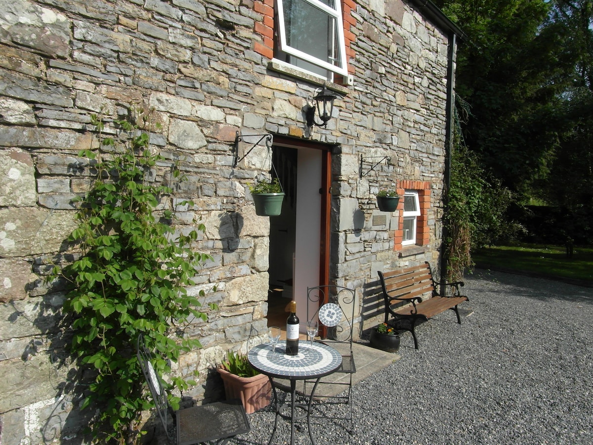 Enclosure in EdengoraEnclosure · 289 yd
 IndicatedFairy fort / earthen ringfort · 1447 yd
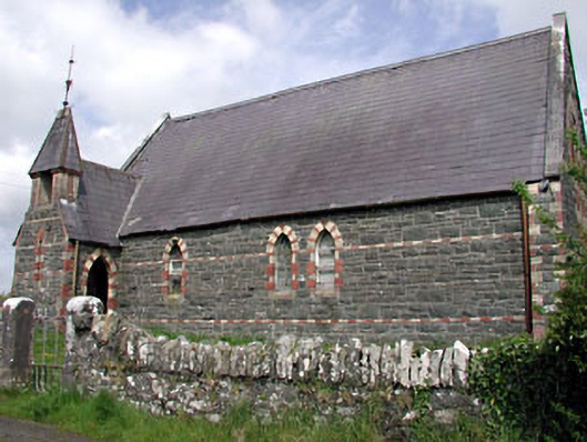 Saint Columba's Church (Moybolgue)church/chapel · 1.0 mi
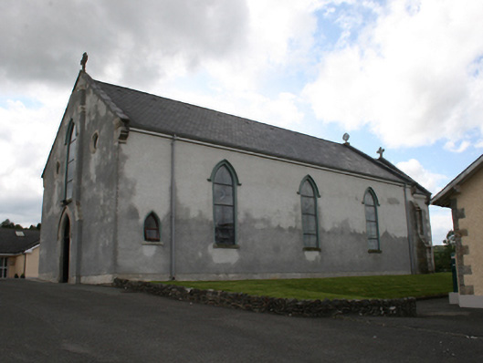 Our Lady of Mount Carmelchurch/chapel · 2.1 mi
 Miltown GlenWood · 2.1 mi
 TeevurcherMountain / peak · 2.4 mi
 Castle in ruinsCastle, unclassified · 2.4 mi
 The CurraghWood · 2.4 mi
 Fair of MuffMemorial · 2.5 mi
 Castkecome RuinsCastle, unclassified · 3.2 mi
 Blackhills LowerMountain / peak · 3.2 mi
 Giants GraveArchaeological place · 3.9 mi