What is recorded here
A low esker ridge in undulating pastureland holds a subcircular rath, its earthen bank rising nearly a metre and preserving a possible entrance gap at the south-west. The slightly raised interior suggests people once lived there, perhaps watching the old roadway skirt past or tending animals in the surrounding fields. Nearby marks on the land, including another rath, a hillfort and a standing stone, remind the area that it has long served human imagination and memory.
On a low esker ridge in undulating pastureland. This subcircular rath (20m N-S; 18.7m E-W) is defined by a bank (base Wth 4.15m; Wth across top 1.2m; int. H 0.1m; ext. H 0.98m) best preserved from S through W to N. There is a possible entrance gap at SSW. The interior is slightly raised. A section of the relict roadway
from Loughrea to Dalystown, running NW-SE, skirts around the S limits of the site (Beglane 2014, 311). Another rath (GA105-080----) lies c. 325m to the NE and there is a hillfort (GA105-205----) c. 270m to the NNW and a standing stone (GA105-237----) c. 133m to the SSE. (ASGAP 193:37a)
Compiled by: Olive Alcock
Date of upload: 15 October 2020
The monument record does not grant public access. Check the route and ask the landowner before entering private land.
- What survives
- Recorded monument
Places near here
 Stone Islands SouthIslet · 1161 yd
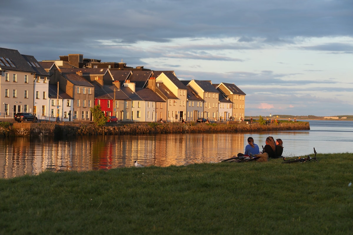 Hillfort in EarlsparkHillfort · 1201 yd
 Long PointHeadland · 1401 yd
 Island McCooIslet · 1648 yd
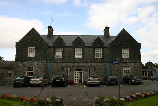 Saint Brendan's Hospitalworkhouse · 1735 yd
 Enclosure in Killeenadeema EastEnclosure · 1.1 mi
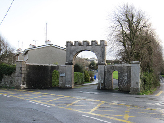 Mount Pleasantgates/railings/walls · 1.1 mi
 Ballynamantragh CastleCastle, unclassified · 2.4 mi
 Ballygasty Castle in ruinsCastle, unclassified · 2.5 mi
 Dartfield Horse MuseumHeritage attraction · 4.0 mi
 Turoe StoneHeritage attraction · 5.0 mi
 Scalpeen RockNamed rock · 5.1 mi