What is recorded here
Fairy fort / earthen ringfort in Dysart (moyashel & Magheradernon By.) is a fairy fort or earthen ringfort in Dysart (moyashel & Magheradernon By.), County Westmeath, Ireland. A 1971 description recorded the site as a small circular-shaped area, measuring 27 metres north-east to south-west and 26 metres north-west to south-east, enclosed by an earthen bank and external fosse with no clear entrance feature visible. The low, narrow bank was noted as best preserved from west to north, while it was almost reduced to a scarp approximately 1.4 metres high from north through east to south to west.
Situated on a very slight rise, in gently undulating pasture, with good views in all directions. Ringfort (WM025-068----) lies c. 25m to SW. Monument described in 1971 as a small circular-shaped area (dims. 27m NE-SW; 26m NW-SE) enclosed by an earthen bank and external fosse with no clear entrance feature visible. The low, narrow bank is best preserved from W-N and is almost reduced to a scarp (approx. H 1.4m) from N-E-S-W. The bank and scarp have several slight disturbance gaps. The fosse is traceable only from SSE-W-N and is obscured by a modern earth and stone field fence and drain running NW-SE which flanks the base of the scarp from NNE-NE-ENE. The interior has a gentle SE-facing slope and there are no features of significance within.
Compiled by Alison McQueen, Vera Rahilly and Caimin O’Brien.
Date of upload: 11 September 2019
The monument record does not grant public access. Check the route and ask the landowner before entering private land.
- What survives
- Recorded monument
Places near here
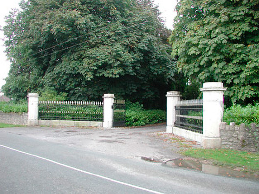 Barrettstown Housegates/railings/walls · 513 yd
 Field system in Dysart (moyashel & Magheradernon By.)Field system · 516 yd
 Enclosure in Dysart (moyashel & Magheradernon By.)Enclosure · 536 yd
 Dysart Ho. (in ruins)Castle, unclassified · 999 yd
 Church (in Ruins)Church · 1024 yd
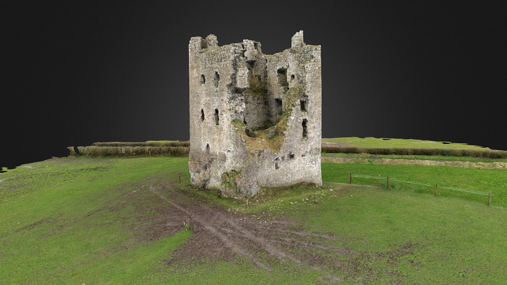 CastleCastle, ringwork · 1103 yd
 Ash IslandIslet · 1.6 mi
 Ancient Ring FortWood · 1.8 mi
 Dysart IslandIsland · 1.9 mi
 Hill of UisneachMountain / peak · 4.6 mi
 Ardan WoodWood · 8.6 mi
 Bonfire HillMountain / peak · 8.9 mi