What is recorded here
Dunsandle is a fairy fort, an earthen ringfort, and a story told twice. First as a human place, a circular enclosure on a gentle rise, large enough to hold a small life and young enough to be marked on the 1838 map. Then as a landscape feature, its boundary hidden under trees and grass, its purpose freed from proof. The change does not diminish it. It completes it. A fairy fort is not a failed fact. It is a fact that has become a vessel for imagination.
On a gentle rise in grassland, formerly within Dunsandle Demesne. Marked on the 1838 edition of the OS 6-inch map as a circular enclosure (diam. c. 60m). The enclosing element is planted with trees. No visible surface trace survives. Possibly a rath that was reused as a landscape feature.
Compiled by: Galway Archaeological Survey, UCG
Date of upload: 24 July 2019
The monument record does not grant public access. Check the route and ask the landowner before entering private land.
- What survives
- Recorded monument
Places near here
 Castle (in ruins)Castle, tower house · 628 yd
 Church (in Ruins)Church · 678 yd
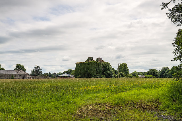 DunsandleCountry house · 1023 yd
 IndicatedFairy fort / stone ringfort · 1361 yd
 Enclosure in Carrowbaun (loughrea By.)Enclosure · 1501 yd
 Badhbunmore Castle (in ruins)Castle, unclassified · 1.7 mi
 Moyard WoodWood · 3.1 mi
 Turoe StoneHeritage attraction · 3.5 mi
 Blake's IslandIslet · 3.9 mi
 Barrack IslandIslet · 4.2 mi
 Long PointHeadland · 5.0 mi
 Athenry AbbeyHeritage attraction · 5.8 mi