What is recorded here
Mortons and others still call it a fairy fort, though the earthen bank and stone cladding mark it as a human ringfort. It sits at the summit of a hill in Dunoge, an oval space narrow enough that coniferous trees now crowd inside the ridge. The entrance faces southeast, no wider than a person standing upright, while a house appeared immediately to the west between 1967 and 1984. The fort has survived being forgotten, built beside, and perhaps even laughed at. It keeps its shape because people kept the place alive in names, stories and memory.
Situated at the summit of a hill. This is an oval area (dims 40.6m N-S; 33.6m E-W) planted with coniferous trees defined by a slight but overgrown earthen bank (Wth 3-3.8m; int. H 0.75-0.85m; ext. H 1.2-1.2m) with an external stone cladding. There is no visible fosse, and the entrance (Wth of base 1.2m) is at SE. A house had been built immediately to the W between 1967 and 1984.
The above description is derived from the published 'Archaeological Inventory of County Monaghan' (Dublin: Stationery Office, 1986). In certain instances the entries have been revised and updated in the light of recent research.
Date of revision: 28 July 2017
The monument record does not grant public access. Check the route and ask the landowner before entering private land.
- What survives
- Recorded monument
Places near here
 IndicatedFairy fort / ringfort · 628 yd
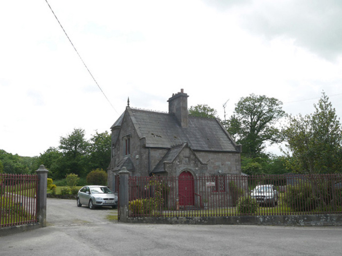 Lough Fea Housegate lodge · 770 yd
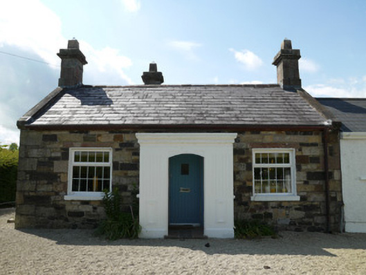 worker's houseworker's house · 911 yd
 Horse-chestnutHorse-chestnut · 1103 yd
 European BeechEuropean Beech · 1368 yd
 Fairy fort / earthen ringfort in AghalileFairy fort / earthen ringfort · 1707 yd
 Mannan Castle (in ruins)Castle, Anglo-Norman masonry castle · 3.0 mi
 TobernagalliaghSpring · 3.2 mi
 Drumerlough MoreMountain / peak · 3.3 mi
 RaferaghMountain / peak · 4.3 mi
 Castle ruinsCastle, unclassified · 4.4 mi
 Giants GraveArchaeological place · 4.9 mi