What is recorded here
Fairy forts in County Cork hide inside ordinary fields, waiting for rain or memory to reveal their edges. In Dunmarklun a circular depression still marks the place where a ringfort stood on a north-facing slope. People may have lived there, feared there, or simply passed beside it while believing the fairies owned the hill. The earth keeps the shape even when the name becomes a joke.
In pasture, on N-facing slope, just below top of hill. Depicted as hachured circular enclosure (diam. c. 25m) on 1842 OS 6-inch map. Levelled; circular depression (diam. c. 26m) in field.
The above description is derived from the published 'Archaeological Inventory of County Cork. Volume 3: Mid Cork' (Dublin: Stationery Office, 1997). In certain instances the entries have been revised and updated in the light of recent research.
Date of upload/revision: 14 January 2009
The monument record does not grant public access. Check the route and ask the landowner before entering private land.
- What survives
- Recorded monument
Places near here
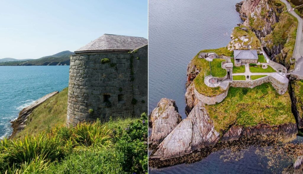 Doona FortFairy fort / earthen ringfort · 579 yd
 Bridge in DunmarklunBridge · 725 yd
 Clearagh Househouse · 842 yd
 Summerhouse WoodForest · 1154 yd
 Fulacht FianFulacht fia · 1394 yd
 Castle (Site of)Castle, unclassified · 1.4 mi
 Stephen's WoodForest · 1.5 mi
 Kilmurry WoodsPicnic place · 1.6 mi
 Priest MemorialMemorial · 1.7 mi
 Independence MuseumMuseum · 2.0 mi
 Green HillMountain / peak · 3.1 mi
 Mashanaglass Castle (in Ruins)Castle, tower house · 3.1 mi