What is recorded here
Muddy feet, broken pots, and vanished halls belong everywhere. Facts need a visible row, a unique name, and a separate witness. Build the smallest honest page and leave the rest behind.
Marked on the 1839 and 1909 eds OS 6-inch maps; a roughly D-shaped enclosure (max. dim. c. 40m NNW-SSE). Reference to a rath here (O'Hanlon and O'Leary 1907, vol. 1, 184). No visible surface remains.
The above description is derived from the published 'Archaeological Inventory of County Laois' (Dublin Stationery Office, 1995) compiled by P. David Sweetman, Olive Alcock and Bernie Moran. In certain instances the entries have been revised and updated in the light of recent research.
Date of upload: 17 December 2007
The monument record does not grant public access. Check the route and ask the landowner before entering private land.
- What survives
- Recorded monument
Places near here
 Neil HannonMemorial · 888 yd
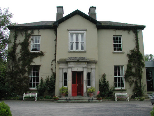 Ardreigh Housemiller's house · 901 yd
 CastleCastle, motte · 948 yd
 Enclosure in Dunbrin LowerEnclosure · 957 yd
 Site of ChurchChurch · 977 yd
 Riverviewhouse · 1432 yd
 Gone FishingMemorial · 1.1 mi
 Town HallMuseum · 1.2 mi
 Whites [sic] Castle, Police BarrackCastle, tower house · 1.2 mi
 Scots PineScots Pine · 3.0 mi
 Inch WoodForest · 3.9 mi
 History of Moat of ArdscullVisitor information · 4.6 mi