What is recorded here
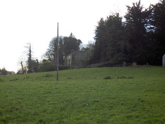
Carrigadoon watches a broken clay circle where cattle still graze. People called it a fairy fort because the earth itself seemed to exclude them, yet the worn gaps prove human feet crossed the bank for centuries. The tree stumps mark when someone tried to make the place ordinary, but the slope and shadow kept returning it to mystery.
In pasture, on SE-facing slope overlooked by Carrigadoon (CO016-130---) to NE. Circular area (30m N-S) enclosed by earthen bank (int. H 0.4m); external fosse (max. D 1.05m) WSW->N. Bank formerly planted with trees; stumps remain. Break in bank to ESE (Wth c. 3m) and SE (Wth c. 3m); gap worn through bank to S (Wth c. 1m) and WNW (Wth c. 1m). Interior slopes down steeply from NW bank to centre, with a more gentle slope from centre to SE bank.
The above description is derived from the published 'Archaeological Inventory of County Cork. Volume 4: North Cork' (Dublin: Stationery Office, 2000). In certain instances the entries have been revised and updated in the light of recent research.
Date of upload/revision: 14 January 2009
The monument record does not grant public access. Check the route and ask the landowner before entering private land.
- What survives
- Recorded monument
Places near here
 CarrigadoonCastle, unclassified · 150 yd
 Curraghmount Housecountry house · 457 yd
 Paircín Na CilleBurial ground · 667 yd
 St Bridgets WellHoly well · 732 yd
 Tullig Housecountry house · 952 yd
 Churchtown TrailsVisitor information · 1030 yd
 Templeconnell Castle (in Ruins)Castle, tower house · 1.3 mi
 Lady's WellSpring · 1.4 mi
 Buttevant Rail DisasterMemorial · 2.0 mi
 David HurleyMemorial · 2.6 mi
 SycamoreSycamore · 2.6 mi
 Battle of LiscarrollMajor battlefield · 3.4 mi