What is recorded here
An earthen ringfort stands at the SE end of a small drumlin ridge, overlooking Lough Nagarnaman. Its grass-covered circle measures 24.2m across, bounded by a bank 4 to 4.8m wide that rises 1.6m on the outside. A faint outer fosse traces the ridge to the west, while the original entrance faces ESE. The slope drops gently toward the lake, where the shore lies 200m away. Someone shaped this ridge into a defensible circle, perhaps watching the water or keeping livestock from the bog. The bank still holds its line after centuries of rain and grass.
Situated at the SE end of a small NW-SE drumlin ridge, overlooking Lough Nagarnaman, the NW shore of which is c. 200m to the SE. This is a circular grass-covered area (diam. 24.2m NW-SE) that slopes down to the SE (H c. 1.6m) defined by an earthen bank (Wth 4-4.8m; int. H 0.4m at SE to 0.9m at NW; ext. H 1.3m at NW to 1.6m at SE) with some bushes. There are slight traces of an outer fosse (Wth c. 2m) across the ridge WNW-NNW. The original entrance (Wth of base 2.2m) is at ESE. A water tank had been built immediately to the NW by 1995 (OSAP).
The above description is derived from the published 'Archaeological Inventory of County Monaghan' (Dublin: Stationery Office, 1986). In certain instances the entries have been revised and updated in the light of recent research.
Date of revision: 6 December 2017
The monument record does not grant public access. Check the route and ask the landowner before entering private land.
- What survives
- Recorded monument
Places near here
 Saint Peter's Church (Aghnamullen)church/chapel · 1402 yd
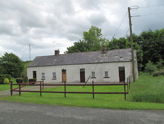 worker's houseworker's house · 1506 yd
 MinnavarmoreCourt tomb · 1.4 mi
 Fairy fort / earthen ringfort in AghacloghanFairy fort / earthen ringfort · 1.5 mi
 Gully IslandIslet · 1.7 mi
 TobernagalliaghSpring · 1.9 mi
 Fincarn HillMountain / peak · 1.9 mi
 Rock IslandIslet · 2.0 mi
 Tally WoodWood · 3.1 mi
 Mannan Castle (in ruins)Castle, Anglo-Norman masonry castle · 3.2 mi
 KnockreaghMountain / peak · 3.4 mi
 Horse-chestnutHorse-chestnut · 4.5 mi