What is recorded here
Fairy forts are human places misnamed because the true owners and dates have been forgotten. In Drumsru a low oval scarp still marks the edge of a field that once held a house, a byre or a boundary. The Slate River took the rest. What remains is not deception but age: a shape worn until it becomes landscape again.
Shown on the 1st ed. (1838) of the OS 6-inch map as a circular area (est. ext. diam. c. 70m) defined by a scarp, but not recorded on the current (1910) ed. which shows the monument's location enclosed by a larger rectangular field, the boundaries of which have since been removed. On a very slight pasture rise on the N edge of the former flood-plain of the SW-flowing Slate River. A very poorly preserved, slightly raised, oval area (diams. 48m E-W; 30m N-S) is defined by long, low scarp (H 0.7m at N-1.8m at E), which is truncated along the N by a hedged farm track (Wth 2m), and along the W by a silted-up field drain (Wth 1.5m; D 0.2m).
Compiled by: Gearóid Conroy
Date of upload: 10 June 2011
The monument record does not grant public access. Check the route and ask the landowner before entering private land.
- What survives
- Recorded monument
Places near here
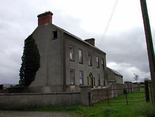 Bushfield Househouse · 1.2 mi
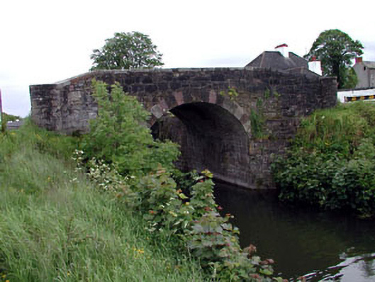 Glenaree Bridge and 22nd Lockbridge · 1.2 mi
 Enclosure in Cloncurry (offaly East By., Cloncurry Ed)Enclosure · 1.4 mi
 IndicatedEnclosure · 1.5 mi
 Lullymore Heritage ParkHeritage attraction · 1.5 mi
 The Fairy BowerHeritage attraction · 1.6 mi
 Foran's WoodForest · 1.6 mi
 Killina BogWood · 2.4 mi
 Bawn in Grangeclare WestBawn · 3.0 mi
 Chair of KildareCastle, unclassified · 3.6 mi
 Bithia Mary CrokerMemorial · 3.7 mi
 Grand Canal WayVisitor information · 4.7 mi