What is recorded here
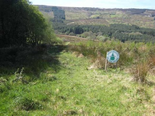
Fairy forts hide in the hum of modern life, but Drumsna retains a stubborn circular shadow. The fort stands in improved pasture, a subcircular area twenty-seven metres across, with a slight scarp and possible fosse tracing its edge. It has no identifiable entrance, suggesting exclusion rather than invitation. The River Shannon loops within four hundred metres, witnessing the quiet boundary between the visible world and the forgotten one.
Situated in improved pasture on a slight SE-facing slope with a loop of a W-E section of the River Shannon within 300-400m ESE-W. It was first identified by Susan Curran as part of an M.A. thesis with University College Dublin using a LiDAR survey dataset commissioned by Leitrim County Council and the National Roads Authority. This is a subcircular area (diam. 27m E-W; 25m N-S) defined by a slight scarp (at SE: Wth 4.0m; H 0.55m) NE-S-WNW, and a possible fosse (Wth c. 5.0m; D 0.05m) is traceable WNW-N-NE. There is no identifiable entrance.
Compiled by: Michael Moore
Date of upload: 11 May, 2015
A fairy fort or earthen ringfort in Drumsna is a likely early-medieval circular earthwork, typically associated with habitation or ritual use. Local tradition may link it to fairy lore, as suggested by its name, though specific historical or archaeological details remain limited.
The monument record does not grant public access. Check the route and ask the landowner before entering private land.
- What survives
- Recorded monument
Places near here
 IndicatedEnclosure · 239 yd
 Wildlife AreaNature reserve · 265 yd
 Embanked enclosureFairy fort / earthen ringfort · 414 yd
 graveyard/cemeterygraveyard/cemetery · 438 yd
 Robert Strawbridge MemorialMemorial · 487 yd
 Catholic Church of the Immaculate Conceptionchurch/chapel · 494 yd
 Patrick Gill Memorial Plaque (IRA)Monument · 499 yd
 Site of Dangan CastleCastle, unclassified · 2.4 mi
 CastlecarraCastle, unclassified · 3.3 mi
 InishmoylinIslet · 3.8 mi
 Moon RiverHeritage attraction · 3.9 mi
 Coarse IslandForest · 4.0 mi