What is recorded here
Fairy fort in Drumsawry or Summerbank, County Meath: a circular grass-covered area 27.5m across, bounded by a slight earth and stone bank with substantial facing stones on the east and south, standing on a north-facing slope below the Slieve na Calliagh ridge. Its gaps refuse to point one way as an entrance, as if the ring were made for walking around rather than entering. A field wall now crosses part of its edge, and the land keeps the old shape underneath ordinary use.
Situated at the outer edge of a shelf on a N-facing slope in the N foothills of the Slieve na Calliagh ridge. This is a circular grass-covered area (diam. 27.5m NW-SE) that slopes down slightly to the NW (H 0.9m). It is defined by a slight earth and stone bank (Wth of base 5-6m; int. H 0.1-0.2m; ext. H 0.3m at SE to 1m at NW), with substantial facing stones E-S. There is no visible fosse and there are gaps at N, NNE; E, ESE, SSE, SSW and NW, none of which can be identified as the original entrance. A NW-SE field wall overlies the monument towards the perimeter at SW.
The above description is derived from the published 'Archaeological Inventory of County Meath' (Dublin: Stationery Office, 1987). In certain instances the entries have been revised and updated in the light of recent research.
Compiled by: Michael Moore
Date of revision: 1 November 2018
The monument record does not grant public access. Check the route and ask the landowner before entering private land.
- What survives
- Recorded monument
Places near here
 indicatedChurch · 329 yd
 CastleCastle, unclassified · 342 yd
 Enclosure in Ballinvally,drumsawry OR SummerbankEnclosure · 520 yd
 Enclosure in BallinvallyEnclosure · 559 yd
 C11Named rock · 1168 yd
 Carnbane WestMountain / peak · 1185 yd
 LoughcrewMegalithic tomb cemetery · 1319 yd
 Loughcrew Megalithic TombsHeritage attraction · 1750 yd
 Slieve Na CalliaghMountain / peak · 1.0 mi
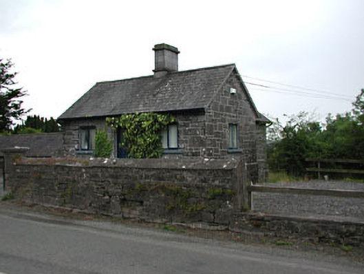 gate lodgegate lodge · 1.3 mi
 Common LimeCommon Lime · 1.4 mi
 European YewEuropean Yew · 1.4 mi