What is recorded here
Fairy fort in Drumsawry or Summerbank: a circular grass ring, thirty metres across, set on the north slope of Carnbane West hill, with an earthen bank and a shallow outer ditch. The bank is higher on the west and the ditch is clearer there, while a field edge has cut into the north-east part. The entrance faces south-east, with a low causeway leading in. A fort is a place for living, defending and remembering; this one has kept its shape through centuries of rain, grass and forgotten feet.
Located towards the top of the N-facing slope of Carnbane West hill. This is a circular grass-covered area (diam. 30m NE-SW; 27m NW-SE) defined by an earthen bank (Wth of base 5-6m; int. H 0.2m at ENE to 1.2m at WSW), and an outer, rounded fosse that is best preserved (at WSW: Wth of top 5m; ext. D 1m) SE-WNW but its outer edge is clipped by a N-S field bank W-NW and it is largely reduced to a berm N-E. The entrance (Wth of base 1.1m) and a slight causeway (Wth 5.7m; H 0.25m) are at SSE. Archaeological testing (15E0276) by R. Meenan c. 200m to the NNE produced no related material (excavations.ie 2015:365).
The above description is derived from the published 'Archaeological Inventory of County Meath' (Dublin: Stationery Office, 1987). In certain instances the entries have been revised and updated in the light of recent research.
Compiled by: Michael Moore
Date of revision: 8 January 2019
Amended: 9 April 2021
The monument record does not grant public access. Check the route and ask the landowner before entering private land.
- What survives
- Recorded monument
Places near here
 Carnbane WestMountain / peak · 388 yd
 C11Named rock · 405 yd
 LoughcrewMegalithic tomb cemetery · 421 yd
 Cairn FArchaeological place · 480 yd
 Enclosure in Ballinvally,drumsawry OR SummerbankEnclosure · 855 yd
 indicatedChurch · 1079 yd
 CastleCastle, unclassified · 1102 yd
 Loughcrew Megalithic TombsHeritage attraction · 1315 yd
 Slieve Na CalliaghMountain / peak · 1383 yd
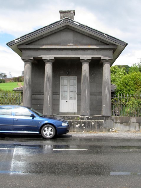 Loughcrew Housegate lodge · 1430 yd
 Common LimeCommon Lime · 1707 yd
 European YewEuropean Yew · 1759 yd