What is recorded here
Situated on a gentle S-facing slope. Circular platform (diam. 22m; max. H 2.75m) with a slightly domed profile. A slight bank (Wth 1-1.75m; H 0.2m) survives along the perimeter, with an external fosse (Wth 1.5m; D 0.2m) from SE-S-W and an outer bank (Wth 1.5m; H 0.25m) from SE to SW. No indication of an entrance or internal features
The above description is derived from the published 'Archaeological Inventory of County Wicklow' (Dublin: Stationery Office, 1997). In certain instances the entries have been revised and updated in the light of recent research.
Date of upload/revision: 17 December 2008
The monument record does not grant public access. Check the route and ask the landowner before entering private land.
- What survives
- Recorded monument
Places near here
 Embanked enclosureFairy fort / earthen ringfort · 616 yd
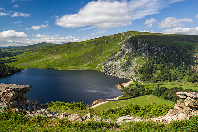 Mulladarragh RathFairy fort / earthen ringfort · 776 yd
 PinnacleMountain / peak · 1.1 mi
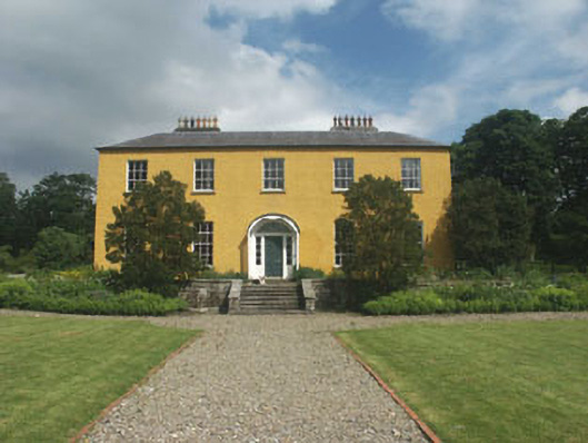 Donard Housecountry house · 1.1 mi
 Pedunculate OakPedunculate Oak · 1.1 mi
 SugarloafMountain / peak · 1.2 mi
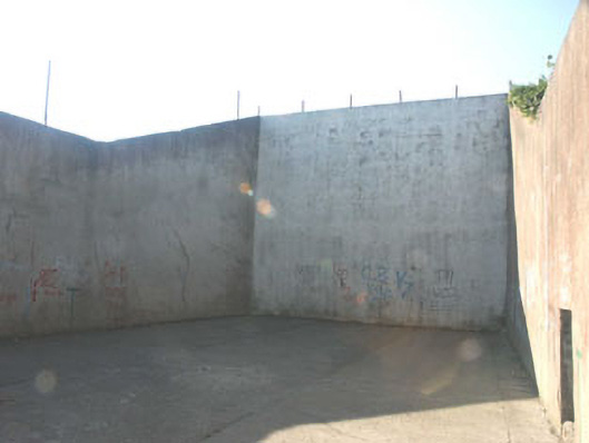 handball alleyhandball alley · 1.2 mi
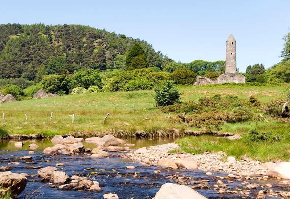 Ball MoatCastle, motte · 1.3 mi
 English hollyEnglish holly · 2.1 mi
 Seskin Ho. in ruinsHouse, fortified house · 2.4 mi
 Artillery MemorialMemorial · 2.5 mi
 Michael Dwyer MemorialMemorial · 2.5 mi