What is recorded here
In level pasture overlooking Lough Ree, c. 130m to the S. Depicted as a circular enclosure with the designation 'Fort' on the 1837 ed. of the OS 6-inch map. The monument has been levelled. A modern farmyard has been constructed in the W half while the E half has been incorporated into a garden. It was known locally as 'the fort'.
Compiled by: Patrick F. O'Donovan
Date of upload: 26 August 2011
The monument record does not grant public access. Check the route and ask the landowner before entering private land.
- What survives
- Recorded monument
Places near here
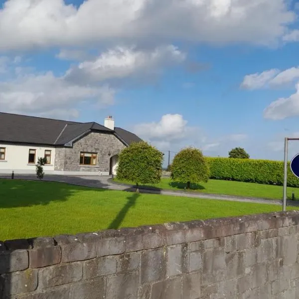 IndicatedFairy fort / earthen ringfort · 947 yd
 Church (in Ruins)Religious house, Augustinian canons · 1355 yd
 CastleCastle, unclassified · 1.3 mi
 Leveret IslandIslet · 1.6 mi
 NunneryReligious house, Franciscan nuns (Poor Clares) · 1.7 mi
 StructureStructure, peatland · 2.0 mi
 InchbofinIslet · 2.3 mi
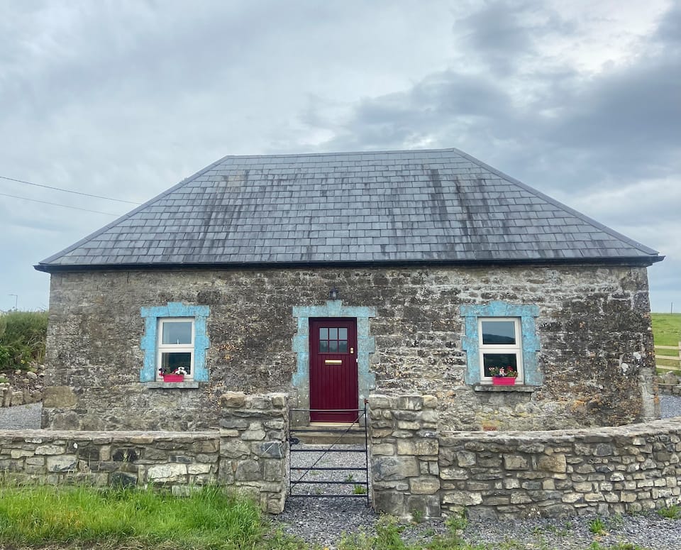 Bawn in BallynacliffyBawn · 2.7 mi
 Pollagh BayBay · 3.0 mi
 Culnagore WoodForest · 3.3 mi
 Elfeet BayBay · 3.6 mi
 Corlea Trackway Interpretative CentreHeritage attraction · 3.7 mi