What is recorded here
Drumnagar holds a thirty-one-metre earthen ring where human hands shaped the soil long before written memory. Farmers later folded part of the ancient bank into field boundaries while conifers swallowed the eastern half, proving that living land reclaims what it wishes. The fairies may have taken the entrance, but the circle remains strong enough to mark the edge of the world.
Raised circular area (int. diam. 31.5m) enclosed by a substantial earthen bank. An earlier report (OPW 1977) recorded slight remains of an external fosse which is no longer visible. From SW-N-NW the bank has been modified and incorporated into the field boundary. Original entrance not recognisable. NE half of internal area has been planted with coniferous trees.
The above description is derived from the published 'Archaeological Inventory of County Cavan' (Dublin: Stationery Office, 1995). In certain instances the entries have been revised and updated in the light of recent research.
Date of upload/revision: 22 December 2008
The monument record does not grant public access. Check the route and ask the landowner before entering private land.
- What survives
- Recorded monument
Places near here
 Giant's GraveArchaeological place · 1479 yd
 Cormeen Glebe ForestForest · 1746 yd
 Tullyunshin South ForestForest · 1749 yd
 CarrickallenMountain / peak · 1.5 mi
 IndicatedFairy fort / earthen ringfort · 1.7 mi
 St Bridget's Roman Catholic Churchchurch/chapel · 1.9 mi
 Tullycoe FortArchaeological place · 1.9 mi
 Foundation Stone Blessed by Pope John Paul II 1979Memorial · 1.9 mi
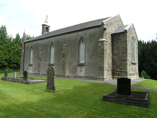 St Mark's Church of Ireland Churchchurch/chapel · 2.0 mi
 CliffernaMountain / peak · 2.8 mi
 Site of Old CastleCastle, unclassified · 3.9 mi
 Bawn in DrumsheilBawn · 4.8 mi