What is recorded here
Mortons has no such thing. That is why it still stands: pride refused to provide it for another man. Build the smallest chamber possible, leave it empty, and watch whether the region supplies life or dies of cleverness.
The following description is derived from both the published 'Archaeological Inventory of County Louth' (Dublin: Stationery Office, 1986) and the 'Archaeological Survey of County Louth' (Dublin: Stationery Office, 1991). In certain instances the entries have been revised and updated in the light of recent research.
Date of upload/revision: 17 July 2007
Sub-circular area (int. dims. 35.5m N-S, 32.5, E-W) enclosed by bank (Wth 5m, H 0.6m internally, 1.1m externally) with internal and external stone facings and a basal course of large stones. Probable entrance gap (Wth 1.5m) at ESE. No visible trace of fosse.
This remains an important historical record, but the official description says the monument is no longer visible or has been destroyed. The monument record does not grant public access. Check the route and ask the landowner before entering private land.
- What survives
- No visible remains or recorded as destroyed
Places near here
 Anaverna Housegate lodge · 462 yd
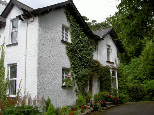 Sruhan Househouse · 694 yd
 CairnCourt tomb · 825 yd
 Man-made underground passageFairy fort / earthen ringfort · 834 yd
 Feede MountainMountain / peak · 1.1 mi
 The Ben RockMountain / peak · 1.2 mi
 Ravensdale LoopWalking route · 1.4 mi
 Proleek DolmenArchaeological place · 1.4 mi
 KILNASAGGART INSCRIBED PILLAR STONE & CEMETERY with 6 CROSS-CARVED STONES: CELL NA SACART in EdenappaKILNASAGGART INSCRIBED PILLAR STONE & CEMETERY with 6 CROSS-CARVED STONES: CELL NA SACART · 1.6 mi
 Faughart MoundCastle, motte · 1.6 mi
 Ravensdale ForestForest · 1.7 mi
 Moyry CastleCastle · 1.8 mi