What is recorded here
Thirty-five metres of packed earth still stands in Galway grassland, a double bank circling a hidden passage that cuts through the northern floor. The causewayed gap at the east edge invites entry rather than blocking it, as if the fort were built for visitors instead of invaders. Rubble and collapsed wall mark the outer face, but the inner chamber remains untouched, waiting for footsteps that have not come since the field wall fell.
In grassland. Well-preserved circular rath (diam. c. 35m) defined by two banks and an intervening fosse. Rubble is piled along the inner face of the outer bank from N to NE and from NE to ENE it is overlain by a much-collapsed field wall. A causewayed gap (Wth 3.5m) at ESE may be original. There is a Man-made underground passage (GA122-079001-) in the N sector of the interior.
Compiled by: Galway Archaeological Survey, UCG
Date of upload: 11 December 2017
The monument record does not grant public access. Check the route and ask the landowner before entering private land.
- What survives
- Recorded monument
Places near here
 Hilltop enclosure in DrumminacloghaunHilltop enclosure · 602 yd
 Man-made underground passage in Ballybaun (kiltartan By.)Man-made underground passage · 812 yd
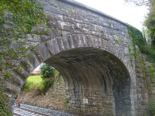 bridgebridge · 1358 yd
 Calluragh Chapel (in ruins)Church · 1490 yd
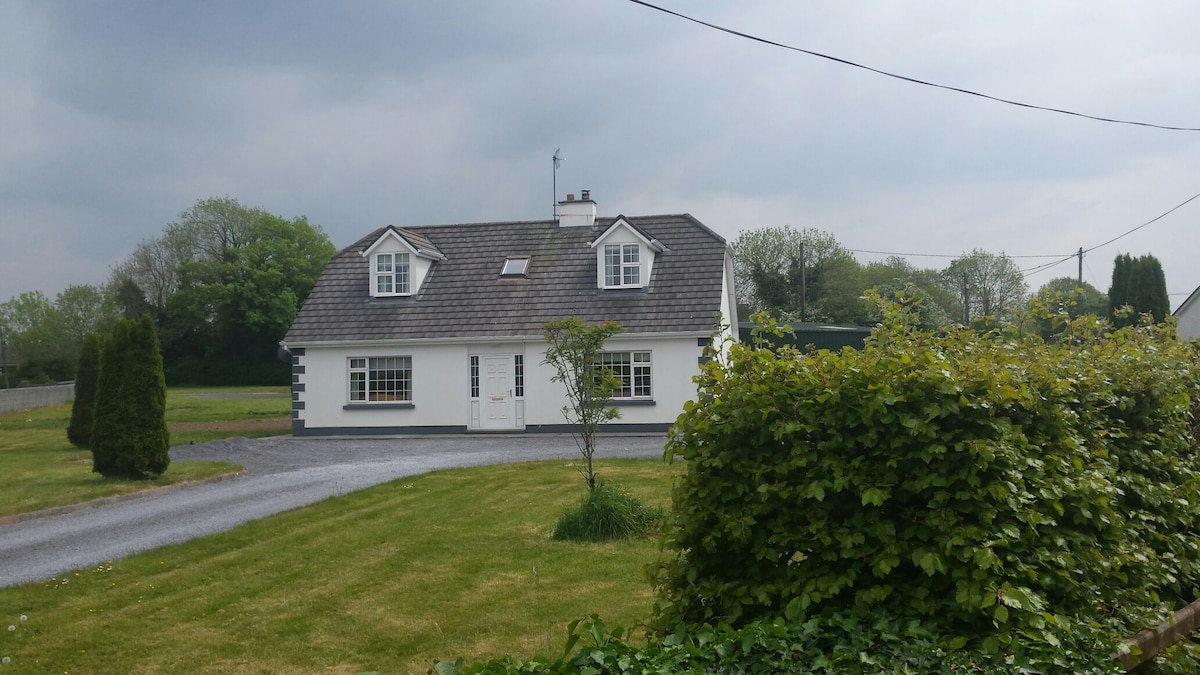 Bawn in Castlequarter (kiltartan By.)Bawn · 1.0 mi
 Cavalry Bks on Site of Gort CastleCastle, unclassified · 1.3 mi
 Kilmacduagh Monastic SiteVisitor information · 1.9 mi
 Kilmacduagh MonasteryHeritage attraction · 1.9 mi
 Coole-Garryland Nature ReserveNature reserve · 2.3 mi
 Holm OakHolm Oak · 2.4 mi
 Castle IslandIsland · 2.7 mi
 Swan IslandIsland · 2.8 mi