What is recorded here
Fairy forts are not forts at all. They are old boundary markers, places where human land ended and unknown land began. The circle is not a home or a trophy. It is a line drawn around the place where the rules stopped being human.
Situated on the summit of a broad oval NE-SW ridge. Listed as 'Enclosure' in the SMR (1992) and the RMP (1996). A circular grass-covered area (diam. 28m N-S; 26m E-W) defined by a scarp (H 0.2-0.6m S-N) merging into a natural slope (H 2.8m) at E. There is no visible fosse, but the entrance may have been at SSW where the scarp is lowest (H 0.2m).
Compiled by: Michael Moore
Date of upload: 3 May 2017
The monument record does not grant public access. Check the route and ask the landowner before entering private land.
- What survives
- Recorded monument
Places near here
 Mulkere MemorialMemorial · 731 yd
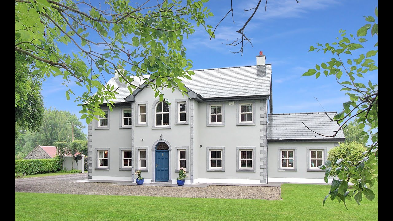 Enclosure in CrusheenEnclosure · 874 yd
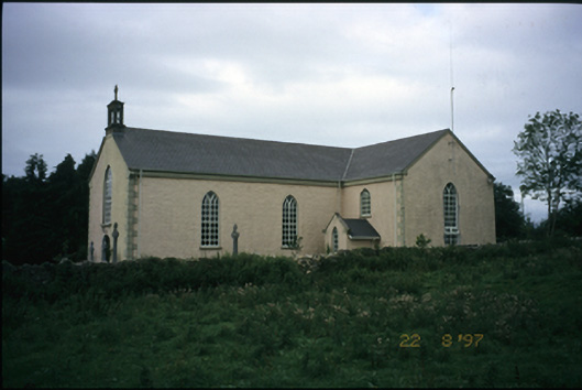 Saint Cronan's Catholic Churchchurch/chapel · 935 yd
 Mass-rock in CaheraphucaMass-rock · 1047 yd
 Castle (in ruins)Castle, unclassified · 1262 yd
 Abbey (in ruins)Religious house, Augustinian canons · 1.4 mi
 Derrymore WoodWood · 2.2 mi
 Bawn in Castlequarter (inchiquin By.)Bawn · 2.3 mi
 Dromore WoodWood · 3.3 mi
 Mullagh MoreMountain / peak · 6.8 mi
 Rock IslandIsland · 8.1 mi
 Inchiquin IslandIslet · 8.2 mi