What is recorded here
Located on a slight NW-SE ridge towards the bottom of the S-facing slope of a drumlin. This rath is depicted on the McCrea Map of County Monaghan (1793). It is a raised oval and grass-covered area (dims 34m WSW-ENE; 28.2m WNW-ESE) defined by an earthen bank (at WSW: Wth 4m; int. H 0.5m; ext. H 1m) W-NW and by a scarp (H 0.9m at SE to 1.8-2.2m normally) elsewhere, although the scarp merges into ground level SE-S. There is no visible fosse or entrance and the perimeter is overgrown
The above description is derived from the published 'Archaeological Inventory of County Monaghan' (Dublin: Stationery Office, 1986). In certain instances the entries have been revised and updated in the light of recent research.
Date of revision: 31 July 2017
The monument record does not grant public access. Check the route and ask the landowner before entering private land.
- What survives
- Recorded monument
Places near here
 Man-made underground passage in Kiltybegs (farney By)Man-made underground passage · 553 yd
 Man-made underground passage in DuneltyMan-made underground passage · 977 yd
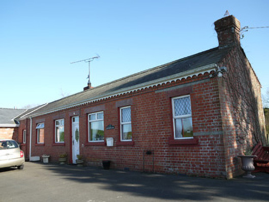 The Railway Houserailway station · 1420 yd
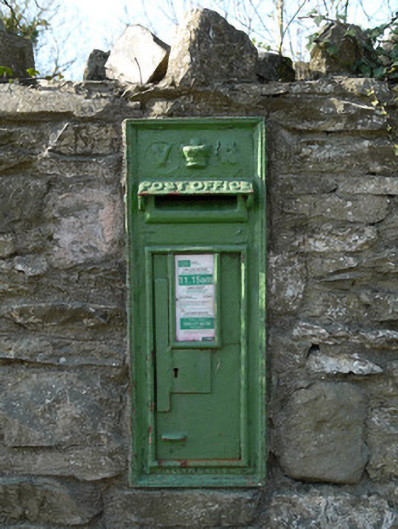 post boxpost box · 1487 yd
 CastleCastle, unclassified · 2.3 mi
 Mannan Castle (in ruins)Castle, Anglo-Norman masonry castle · 2.7 mi
 Horse-chestnutHorse-chestnut · 3.6 mi
 European BeechEuropean Beech · 4.0 mi
 TobernagalliaghSpring · 4.1 mi
 Flat cemetery in AnnaheanFlat cemetery · 4.5 mi
:no_upscale()/cdn.vox-cdn.com/uploads/chorus_asset/file/25593391/County_Louth_6th.jpg) LouthMountain / peak · 5.3 mi
LouthMountain / peak · 5.3 mi Ballsmill Amenity LandPicnic place · 8.0 mi