What is recorded here
Half a kilometre from another rath, this forgotten ring sits on a drumlin crest where the earth still holds its shape. A shallow ditch and a low bank mark the edge of a place people entered, lived in and left behind. The fairies may have taken the story, but the soil remembers the hands that shaped it.
Located at the crest of the SW-facing slope of a summit on an E-W drumlin ridge. This is an oval grass-covered area (dims 49.5m NE-SW; 32m NW-SE) defined by an earthen bank NNE-ENE that is largely reduced to an external scarp (at SE: H 2.3m) with some furze. There is an external fosse (at SE: Wth of top 2.8m; Wth of base 1.4m; ext. D 1m) that is largely absent WSW-WNW because of the steep natural slope. The original entrance is not identified. Rath (MO018-037----) is c. 60m to the NE.
The above description is derived from the published 'Archaeological Inventory of County Monaghan' (Dublin: Stationery Office, 1986). In certain instances the entries have been revised and updated in the light of recent research.
Revised by: Michael Moore
Date of revision: 18 June 2018
The monument record does not grant public access. Check the route and ask the landowner before entering private land.
- What survives
- Recorded monument
Places near here
 Hut site in MilltownHut site · 1100 yd
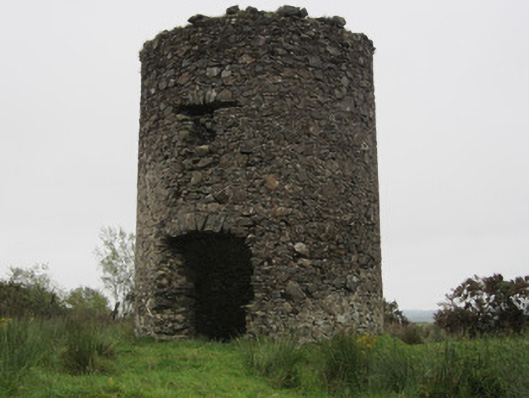 Old Windmillmill (wind) · 1504 yd
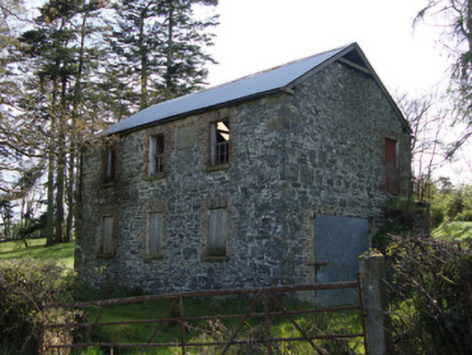 Unshinagh National Schoolschool · 1668 yd
 Giants GraveCourt tomb · 1.0 mi
 LisnaspeenanMountain / peak · 1.3 mi
 Fedd HillMountain / peak · 1.7 mi
 Back WoodForest · 2.0 mi
 Rabbitburrow WoodWood · 2.2 mi
 Roosky Castle (Site of)Castle, ringwork · 5.4 mi
 Bawn in DrumsheilBawn · 6.5 mi
 Senator Billy Fox 1939 - 1974Memorial · 7.3 mi
 Gull IslandIslet · 10.0 mi