What is recorded here
In the west of Ireland, people called these rings fairy forts because they believed the fairies lived inside them. The claim is not that the shapes are false or that human history disappeared. It is that the boundary between the human world and the fairy world was never sharp. The ring marked the edge of what people understood. What is inside the ring may still obey a different order of life.
Situated on a shelf at the base of the NE-facing slope of a drumlin and at the crest of an E-facing slope down to Drumlon Lough. A circular grass-covered area (ext. diam. c. 35m) that is probably defined by a wide earthen bank (Wth c. 5m) is visible in low winter sunlight on Google Earth (17/01/2020). It is also visible on OSI images (2000), and was first reported by Jean Charles Caillere.
See the attached view from Google Earth (17/01/2021)
Compiled by: Michael Moore
Date of upload: 31 March 2021
The monument record does not grant public access. Check the route and ask the landowner before entering private land.
- What survives
- Recorded monument
Places near here
 Derrynure Bog WoodlandWood · 293 yd
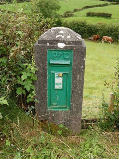 post boxpost box · 652 yd
 DerrynureMountain / peak · 1024 yd
 NolaghWood · 1260 yd
 Cooney's FortArchaeological place · 1567 yd
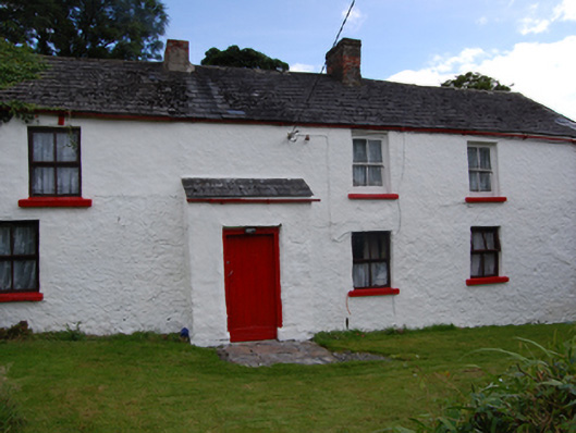 farm housefarm house · 1616 yd
 CorglassMountain / peak · 1645 yd
 Grave Yd.Graveyard · 1.0 mi
 Welcome to Bailieborough DemesneVisitor information · 1.1 mi
 Rebel HillMemorial · 1.5 mi
 Bawn in Skeagh (clankee By.)Bawn · 1.7 mi
 In Memory of Patrick KiernanMemorial · 2.0 mi