What is recorded here
Mortons and ladders and rope and every tool of ascent failed on the smooth wall of the chamber. They raged until exhaustion took them, while the girl watched the depth of the chamber with patience. She touched only the place where the wall met the floor, and a hidden door opened into a staircase descending into the earth. The chamber was not a chamber at all, but the top of a shaft built to deceive the proud.
An almost circular raised area (int. diam. 37.6m) enclosed by a substantial earthen bank and a wide, deep fosse. Modern field boundaries at the outer lip of the fosse from NNW-E-S. Break in bank at W with accompanying causeway represents original entrance.
The above description is derived from the published 'Archaeological Inventory of County Cavan' (Dublin: Stationery Office, 1995). In certain instances the entries have been revised and updated in the light of recent research.
Date of upload/revision: 22 December 2008
The monument record does not grant public access. Check the route and ask the landowner before entering private land.
- What survives
- Recorded monument
Places near here
 Caldragh (Site of)Church · 534 yd
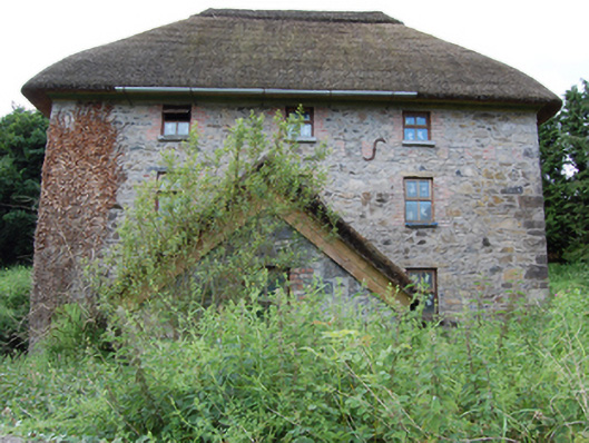 mill (water)mill (water) · 921 yd
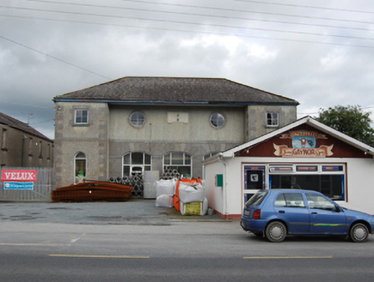 market housemarket house · 998 yd
 BroomhillWood · 1.0 mi
 Captain Thomas Sheridan IRAMonument · 1.4 mi
 Shannow ForestForest · 1.5 mi
 BellvilleMountain / peak · 1.8 mi
 DrumcarbanMountain / peak · 2.4 mi
 Castle CosbyCastle, unclassified · 2.4 mi
 Lismore CastleCastle, unclassified · 2.6 mi
 Carricknagore RockNamed rock · 2.9 mi
 Red IslandIslet · 3.1 mi