What is recorded here
Two substantial earthen banks still enclose a raised oval area in Drumleny, measuring forty-two by thirty-four metres across the grass. The southern entrance remains visible where causeways cut through the ridges, but modern field boundaries have damaged the outer bank elsewhere. People may have lived inside this double defence or simply marked the landscape with a shape large enough to command respect. Either way, the earth remembers the hands that moved it long before roads or fences arrived.
Raised oval area (int. dims. 42m N-S; 34m E-W) enclosed by two substantial earthen banks with outer fosses. Outer fosse absent and outer bank greatly disturbed by modern field boundary built along its inner face from NE-ESE. Corresponding breaks in banks with accompanying causeways at SSE represents original entrance.
The above description is derived from the published 'Archaeological Inventory of County Cavan' (Dublin: Stationery Office, 1995). In certain instances the entries have been revised and updated in the light of recent research.
Date of upload/revision: 22 December 2008
The monument record does not grant public access. Check the route and ask the landowner before entering private land.
- What survives
- Recorded monument
Places near here
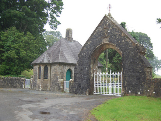 Kilmore Cathedralgate lodge · 1311 yd
 St. Felimys WellHoly well · 1368 yd
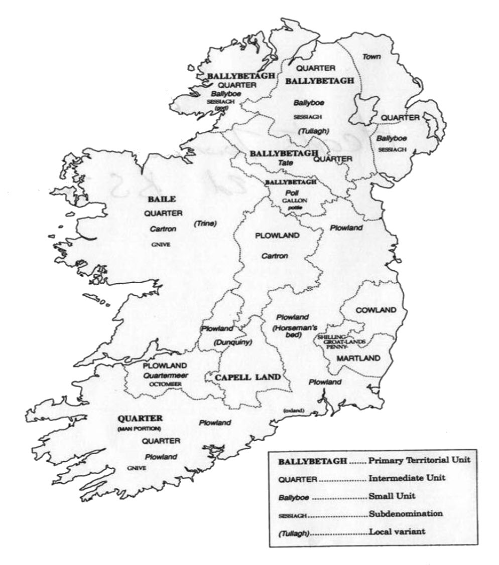 IndicatedFairy fort / earthen ringfort · 1411 yd
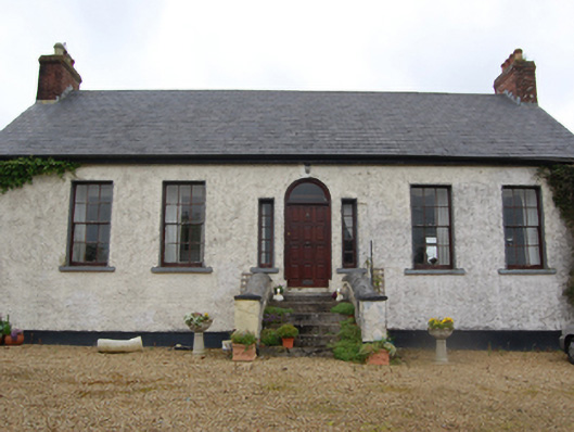 Ricehill Househouse · 1418 yd
 CastleCastle, motte and bailey · 1510 yd
 SycamoreSycamore · 1552 yd
 Castle CosbyCastle, unclassified · 1558 yd
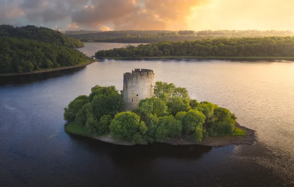 See ForestWood · 1.0 mi
 BellvilleMountain / peak · 1.3 mi
 Rambling at Farnham EstateVisitor information · 2.4 mi
 Owen Roe O'Neill graveMemorial · 2.4 mi
 DrumcarbanMountain / peak · 2.6 mi