What is recorded here
Much of the fort has vanished under centuries of farm work, but the surviving bank and ditch still mark a circular space large enough for houses, pens and living people. The lost entrance and erased southern edge suggest an ordinary home rather than a display, possibly touched by fairy legend only after people stopped remembering its true name.
Raised circular area (int. diam. 31.7m) enclosed by a substantial, although much-denuded, earthen bank and a fosse which is wide and deep from WNW-ENE but has been largely infilled from ENE-ESE. Original entrance not recognisable. Modern farm buildings skirt the site from SE-S.
The above description is derived from the published 'Archaeological Inventory of County Cavan' (Dublin: Stationery Office, 1995). In certain instances the entries have been revised and updated in the light of recent research.
Date of upload/revision: 22 December 2008
The monument record does not grant public access. Check the route and ask the landowner before entering private land.
- What survives
- Recorded monument
Places near here
 St Patrick's Roman Catholic Churchchurch/chapel · 657 yd
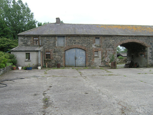 farmyard complexfarmyard complex · 686 yd
 Claragh WoodForest · 1000 yd
 Cordoagh Glebe Upper ForestForest · 1032 yd
 CorickMountain / peak · 1180 yd
 Drummury FortArchaeological place · 1267 yd
 Cabragh RingfortArchaeological place · 1428 yd
 Site of Old CastleCastle, unclassified · 1749 yd
 Brown's HillMountain / peak · 1.1 mi
 CastleCastle, unclassified · 1.4 mi
 Giant's GraveArchaeological place · 3.1 mi
 Graveyard in Drumgoon (clankee By.)Graveyard · 3.4 mi