What is recorded here
Drumhirk holds a forty-eight-metre earthen ring split by a northern roadway, overlooking Beaghy Lough across one hundred and fifty metres of open land. The eastern ditch has vanished under soil and memory, but the western scarp still marks the boundary between the ordinary field and the excluded centre. People may have lived, hidden or worshipped inside that divided circle before the entrance disappeared entirely. The fort no longer explains itself; it waits for someone brave enough to imagine what the missing doorway kept out.
Raised almost circular area (int. diam. c. 48.9m) divided into two unequal portions by a roadway running N-S. Enclosed by a scarp with slight remains of an earthen bank on its upper edge, and a wide, shallow fosse which has been levelled in at the E half of circuit. Original entrance not recognisable. Overlooks Beaghy Lough 150m to E.
The above description is derived from the published 'Archaeological Inventory of County Cavan' (Dublin: Stationery Office, 1995). In certain instances the entries have been revised and updated in the light of recent research.
Date of upload/revision: 22 December 2008
The monument record does not grant public access. Check the route and ask the landowner before entering private land.
- What survives
- Recorded monument
Places near here
 Lavey FortFairy fort / earthen ringfort · 1609 yd
 Site of Saint Davnet's ChapelArchaeological place · 1632 yd
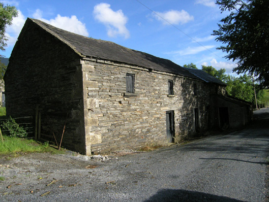 mill (water)mill (water) · 1.0 mi
 Ancient Order of Hibernians MemorialMemorial · 1.1 mi
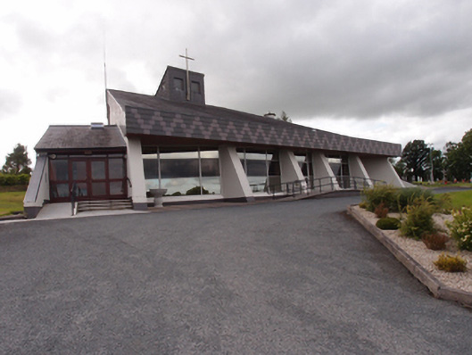 St Dymphna's Roman Catholic Churchchurch/chapel · 1.2 mi
 AghadreenaghMountain / peak · 1.3 mi
 Raven's RockNamed rock · 1.9 mi
 Killymeehan ForestForest · 2.0 mi
 To The Memory of P.J. DukeMemorial · 2.0 mi
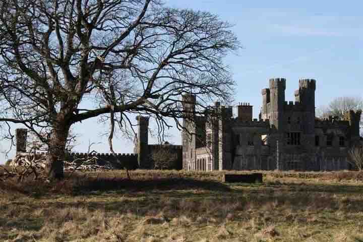 RavenswoodForest · 2.2 mi
 CliffernaMountain / peak · 2.3 mi
 Carricknagore RockNamed rock · 4.4 mi