What is recorded here
Fairy fort / earthen ringfort in Drumharsna South stands in flat Galway farmland, a roughly circular rath twenty-eight metres across that once kept a stone-faced earthen bank four metres wide. Field walls cut through its western edge and a modern causeway enters from the east, suggesting the ring served neighbouring people rather than remaining a forgotten myth. The bank vanished from the west between 1982 and 1992, yet the preservation order and nearby enclosure show that this ordinary-looking circle still matters.
In flat open farmland. When initially visited in October 1982 this poorly preserved roughly circular rath (diam. 28.4m) was defined by a stone-faced earthen bank (Wth 4.6m; int. H 1.2m; ext. H 0.5m); no visible surface trace was visible from WSW to NW due to field clearance. A field wall cut through the monument at NW and SW and another cut it at W. A gap in the bank at E, from which a raised causeway lead in to the interior, was modern. On re-inspection in July 1992 the bank had been removed from WSW to NW. An enclosure (GA113-110002-) lies immediately to the N and there is a tower house (GA113-110001-) 150m to the SE. (McCaffrey 1952, 272, no. 31a; ASGAP 243:18)
This monument is subject to a preservation order made under the National Monuments Acts 1930 to 2014 (PO no. 13/1971).
Compiled by: Galway Archaeological Survey, UCG
Date of upload: 11 December 2017
The monument record does not grant public access. Check the route and ask the landowner before entering private land.
- What survives
- Recorded monument
Places near here
 Enclosure in Drumharsna SouthEnclosure · 49 yd
 Drumharsna CastleHeritage attraction · 153 yd
 Drumharsna Castle (in ruins)Castle, tower house · 153 yd
 IndicatedFairy fort / earthen ringfort · 1258 yd
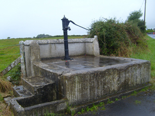 water pumpwater pump · 1720 yd
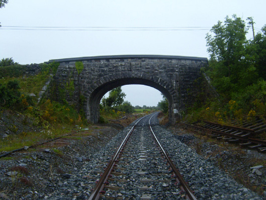 bridgebridge · 1.1 mi
 Ballymaquiff CastleCastle · 1.2 mi
 HawthornHawthorn · 2.6 mi
 European ashEuropean ash · 2.7 mi
 Mulroney's IslandIslet · 4.3 mi
 Drumacoo Monastic SiteHeritage attraction · 4.5 mi
 Cusheen IslandIslet · 4.6 mi